
balaitous
- Thématique Découverte
- Mis à jour le 09/07/2020
- Identifiant 1023256
Sélectionner le fond de carte

PLAN IGN

PHOTOS AERIENNES

CARTES IGN MULTI-ECHELLES

TOP 25 IGN

CARTES DES PENTES

PARCELLES CADASTRALES

CARTES OACI

CARTES 1950 IGN

CARTE DE L’ETAT-MAJOR (1820-1866)

Open Street Map
Afficher les points d'intérêt à proximité
Hébergements
Informations
Lieux d'intérêts
Producteurs
Restauration
Services et Commerces
Autre
Echelle
|
durée / niveau
Rando pédestre
|
distance
18,6 km
type parcours
Aller/Retour
|
|||||||||
|
Lieu de départ
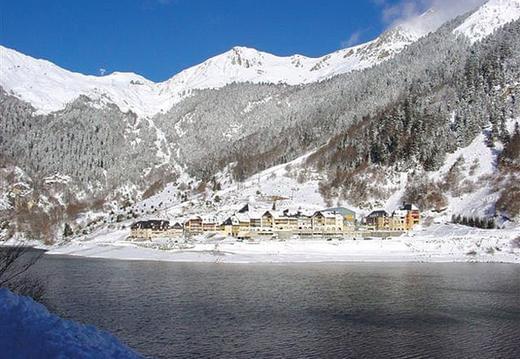
65400 Arrens-Marsous
|
accessibilite
|
|||||||||
|
prestations payantes
Non
|
type(s) de sol
Rochers
|
|||||||||
description
balaitous
Hébergements à proximité


infos parcours (8)
1
Depart-D105
Départ Parking 1470m
Informations complémentaires
kilomètre
0,01
latitude
42.8831
altitude
1472
m
longitude
-0.270772
2
LacdeSuyen
Lac de Suyen 1560m
Informations complémentaires
kilomètre
1,24
latitude
42.8763
altitude
1534
m
longitude
-0.267406
3
Cabane-Doumblas
Doumblas (Cabane Refuge) 1563m
Informations complémentaires
kilomètre
2,12
latitude
42.8691
altitude
1563
m
longitude
-0.266054
4
Refuge-Larribe
Refuge de Larribet 2065m
Informations complémentaires
kilomètre
5,24
latitude
42.8585
altitude
2055
m
longitude
-0.288842
5
BrèchedelaGaren
Brèche de la Garenère 2120m
Informations complémentaires
kilomètre
5,39
latitude
42.8575
altitude
2132
m
longitude
-0.290987
6
LacsdeBatcrabèr
Lacs de Batcrabère 2180m
Informations complémentaires
kilomètre
6,57
latitude
42.8508
altitude
2177
m
longitude
-0.299957
7
Col-Noir
Col Noir 2600m
Informations complémentaires
kilomètre
7,83
latitude
42.8396
altitude
2597
m
longitude
-0.299614
8
Balaïtous
Balaïtous 3144m
Informations complémentaires
kilomètre
8,99
latitude
42.8391
altitude
3117
m
longitude
-0.290258
Dominique
Note moyenne
Cartes associées
