
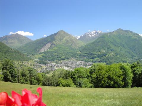
Refuge Larribet - Refuge Arrémoulit
- Mis à jour le 19/09/2025
- Identifiant 3063272
Sélectionner le fond de carte

PLAN IGN

PHOTOS AERIENNES

CARTES IGN MULTI-ECHELLES

TOP 25 IGN

CARTES DES PENTES

PARCELLES CADASTRALES

CARTES OACI

CARTES 1950 IGN

CARTE DE L’ETAT-MAJOR (1820-1866)

Open Street Map
Afficher les points d'intérêt à proximité
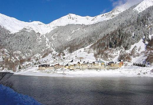
Hébergements
Informations
Lieux d'intérêts
Producteurs
Restauration
Services et Commerces
Autre
Echelle
|
durée / niveau
Rando pédestre
|
distance
4,7 km
type parcours
Aller Simple
|
|||||||||
|
Lieu de départ
65400
|
accessibilite
|
|||||||||
|
prestations payantes
Non
|
type(s) de sol
Graviers
Sable Terre Herbe Rochers |
|||||||||
Hébergements à proximité


infos parcours (13)
1
Refugio de Arrémoulit
Informations complémentaires
kilomètre
4,57
latitude
42.846
altitude
2270
m
longitude
-0.329204
2
Lagos de Arrémoulit
Informations complémentaires
kilomètre
4,41
latitude
42.8455
altitude
2274
m
longitude
-0.327359
3
Cruce: rutas 08, 13, 28
Informations complémentaires
kilomètre
4,98
latitude
42.8458
altitude
2283
m
longitude
-0.326684
4
Lac du Palas
Informations complémentaires
kilomètre
5,22
latitude
42.8462
altitude
2352
m
longitude
-0.324211
5
Cuello de Palas
Informations complémentaires
kilomètre
5,85
latitude
42.8439
altitude
2519
m
longitude
-0.317591
6
Cruce: rutas 09, 13, 28, 29
Informations complémentaires
kilomètre
6,23
latitude
42.8449
altitude
2540
m
longitude
-0.313327
7
Port du Lavedan
Informations complémentaires
kilomètre
6,52
latitude
42.8461
altitude
2601
m
longitude
-0.310329
8
Lagos Micoulaou
Informations complémentaires
kilomètre
7,54
latitude
42.8463
altitude
2304
m
longitude
-0.301006
9
Cruce: rutas 09, 13, 29, 35
Informations complémentaires
kilomètre
7,65
latitude
42.8472
altitude
2303
m
longitude
-0.30038
10
Lago de Batcrabrère Superior
Informations complémentaires
kilomètre
8,02
latitude
42.8499
altitude
2196
m
longitude
-0.298191
11
Ibón del Clou
Informations complémentaires
kilomètre
8,69
latitude
42.8551
altitude
2163
m
longitude
-0.294883
12
Cruce: rutas 09, 12, 13, 29, 35
Informations complémentaires
kilomètre
8,90
latitude
42.8564
altitude
2180
m
longitude
-0.293018
13
Refugio de Larribet
Informations complémentaires
kilomètre
9,32
latitude
42.8583
altitude
2057
m
longitude
-0.288728


