
C3-refait
- Mis à jour le 25/03/2021
- Identifiant 1203131
Sélectionner le fond de carte

PLAN IGN

PHOTOS AERIENNES

CARTES IGN MULTI-ECHELLES

TOP 25 IGN

CARTES DES PENTES

PARCELLES CADASTRALES

CARTES OACI

CARTES 1950 IGN

CARTE DE L’ETAT-MAJOR (1820-1866)

Open Street Map
Afficher les points d'intérêt à proximité
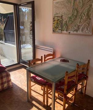
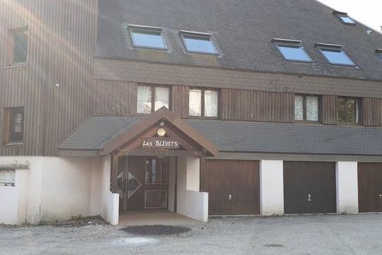
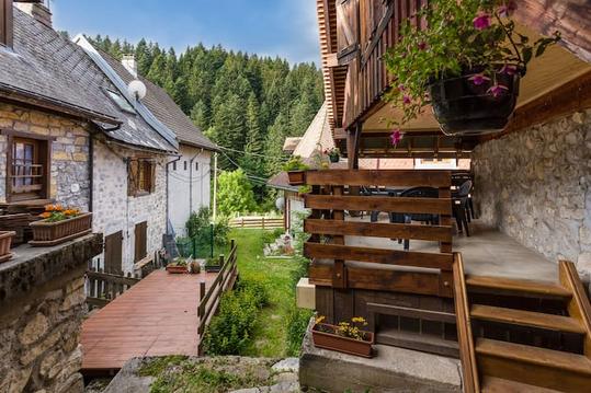
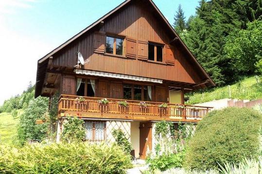
Hébergements
Informations
Lieux d'intérêts
Producteurs
Restauration
Services et Commerces
Autre
Echelle
|
durée / niveau
Rando pédestre
|
distance
15,4 km
type parcours
|
|||||||||
|
Lieu de départ
38380 Saint-Pierre-de-Chartreuse
|
accessibilite
|
|||||||||
|
prestations payantes
Non
|
type(s) de sol
|
|||||||||
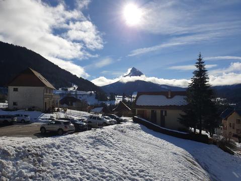
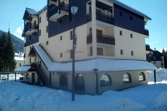
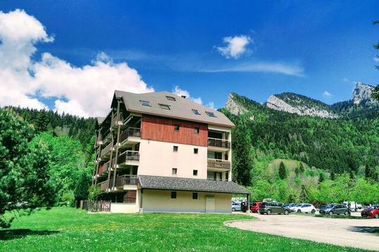
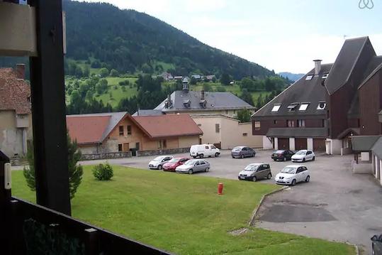
Hébergements à proximité

infos parcours (3)
1
Fourche
Informations complémentaires
kilomètre
6,07
latitude
45.3105
altitude
1634
m
longitude
5.84556
2
Passage d'escalade
Informations complémentaires
kilomètre
5,17
latitude
45.3174
altitude
1806
m
longitude
5.85222
3
Passage câblé
Informations complémentaires
kilomètre
7,33
latitude
45.3101
altitude
2002
m
longitude
5.85578
Didier
Note moyenne
Cartes associées
