
From Faugère to Montignac-Lascaux (English version)
- Mis à jour le 02/04/2021
- Identifiant 1237811


|
durée / niveau
Rando pédestre
|
distance
10,2 km
type parcours
|
|||||||||
|
Lieu de départ
24210 Bars
|
accessibilite
|
|||||||||
|
prestations payantes
Oui
|
type(s) de sol
Bitume
Graviers Herbe |
|||||||||
description
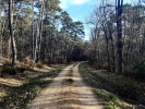
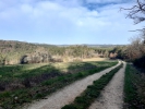
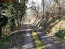
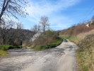
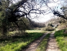
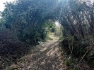
The route is mainly done on gravel or grassy paths, in the middle of forests and it offers panorama on several Périgord’s valleys.
Several alternatives are possible along the way, such as :
- Going to Auriac-du-Périgors at point 5
- Going through the hamlet of La Roche at point 9
- Joining the GR36 from Montignac, at the hamlet of Les Gardes, 1.5 km after the end of this hike (point 15). The GR36, goes down to Les Eyzies-de-Tayax-Sirueil or up to Bussac, passing by Fanlac, a village located 3.5 km from the Refuge.
Watch out for :
- Cars on the short sections passing by roads.
- The dog which may be present at point 5 : La Péze.
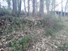
- The passage between points 6 to 7 is on an unmarked and hard to identify municipal path. Follow the directions carefuly.
- Brambles, branches and irregularities on the ground on the municipal path, section 7 to 8.
- In the event of heavy rain, the passage by the small bride, section 7 to 8, may be flooded.
- In the event of a heat wave, some sections of the path are between meadows or on roads, fully exposed to the sunlight.
Hébergements à proximité
Villa la Guionie Montignac Lascaux
Cosy et Situation idéale - Les Pierres D'Alexandre
Montignac-Lascaux - Les Pierres De Tiphaine

Gîte spacieux avec piscine chauffée Périgord noir
Gîte de charme piscine chauffée périgord noir
Gîte 6pers. Les Combes Montignac Lascaux

Gîte 4pers. Les Combes Montignac Lascaux

Gîte les Combes Montignac Lascaux

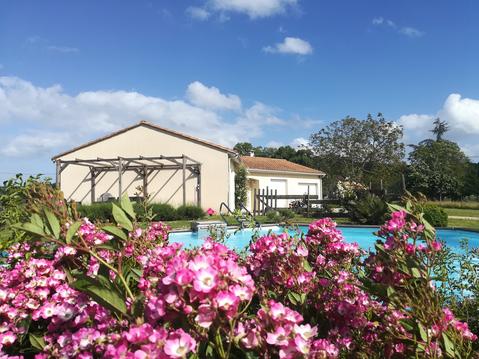
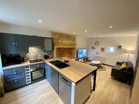
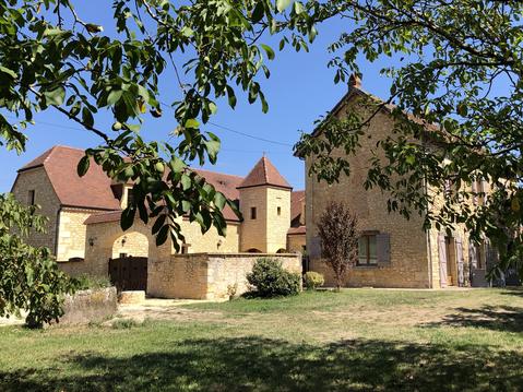
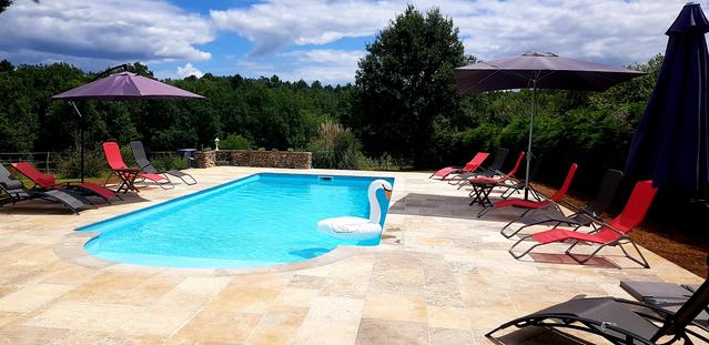
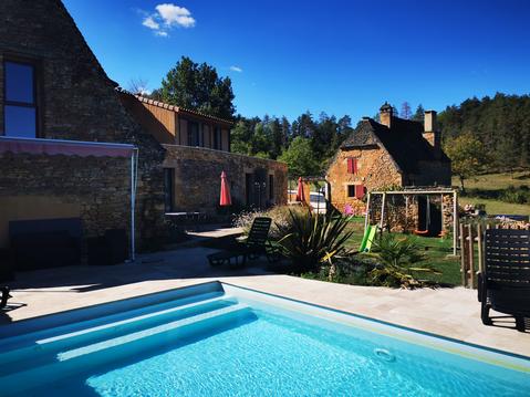
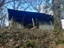
Refuge
More info and booking : https://croquant-herbes-folles.fr/gite.php
infos parcours (15)
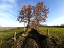
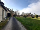
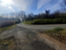
From the Refuge’s parking in Faugère
|
|
24210 Bars
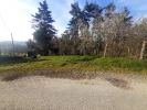
LES QUATRE BORNES
24210 Bars
DFCI PATH
|
|
24290 Auriac-du-Périgord
LES PLANTADES
The path descending on the left leads to Auriac-du-Périgord, and the one descending on the right, to the hamlet of Gauléjac.
|

|
24290 Auriac-du-Périgord
LA PÉZE
|
24290 Montignac
HAUT-PANISSAL
24290 Montignac
LA ROUMAGÈRE
|
|
|
|
24290 Montignac
MUNICIPAL PATH GOING TO THE GAULÉJAC STREAM
Then, still straight ahead, go up the path that runs along the property to the right up to the level of the road, next to an electric pole.
Watch out for brambles, branches and irregularities on the ground.
|
24290 Montignac
GOING TO LA ROCHE
- a more direct option by a road with little traffic: follow the asphalt the road to La Roche
- an option with elevation: follow the yellow PR route indicating: "Montignac 3.7 km"
These two options get to point 10.
|
24290 Montignac
BELOW LA ROCHE
|
|
24290 Montignac
GOING TO LES PICADIS BY THE FOREST
|
24290 Montignac
LES PICADIS
|
24290 Montignac
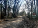
GETTING TO THE CEMETERY PATH
- either by Peyrousselle (little road traffic): cross the road and follow the sign "Peyrousselle". Then turn right twice until you reach the cemetery.
- Or by following the Yellow PR markings, on the main road.
Watch out for cars.
24290 Montignac
THE CEMETERY PATH
24290 Montignac
MONTIGNAC
Lascaux IV is about 2 km after the bridge.
24290 Montignac
Les Croquants d'Herbes Folles
Cartes associées
