
La Hoube - Geissfels - Ochsenstein
- Mis à jour le 23/06/2020
- Identifiant 1006513
Sélectionner le fond de carte

PLAN IGN

PHOTOS AERIENNES

CARTES IGN MULTI-ECHELLES

TOP 25 IGN

CARTES DES PENTES

PARCELLES CADASTRALES

CARTES OACI

CARTES 1950 IGN

CARTE DE L’ETAT-MAJOR (1820-1866)

Open Street Map
Afficher les points d'intérêt à proximité
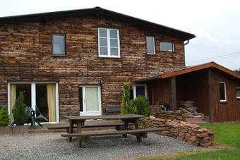
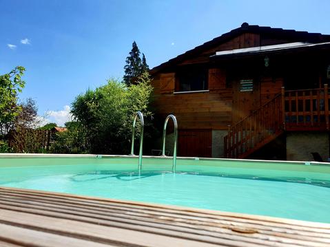
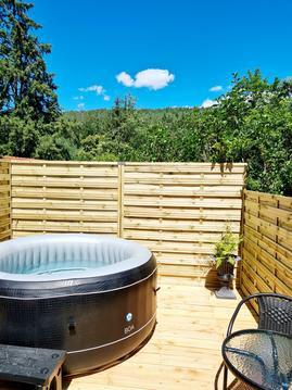
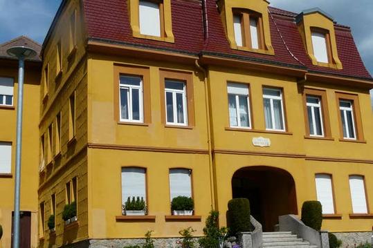
Hébergements
Informations
Lieux d'intérêts
Producteurs
Restauration
Services et Commerces
Autre
Echelle
|
durée / niveau
Rando pédestre
|
distance
12,3 km
type parcours
|
|||||||||
|
Lieu de départ
57850 Dabo
|
accessibilite
|
|||||||||
|
prestations payantes
Non
|
type(s) de sol
|
|||||||||
Hébergements à proximité


infos parcours (10)
1
Départ et retour
Informations complémentaires
kilomètre
0,01
latitude
48.652
altitude
665
m
longitude
7.28991
2
Parking D/A
Informations complémentaires
kilomètre
0,01
latitude
48.6519
altitude
666
m
longitude
7.28991
3
Intersection
Informations complémentaires
kilomètre
0,52
latitude
48.6555
altitude
635
m
longitude
7.28602
4
Table des géants
Informations complémentaires
kilomètre
1,34
latitude
48.6619
altitude
600
m
longitude
7.291
5
Abri du Geisfelswasen
Informations complémentaires
kilomètre
3,15
latitude
48.669
altitude
510
m
longitude
7.28874
6
Point de vue du Geisfels
Informations complémentaires
kilomètre
3,54
latitude
48.672
altitude
605
m
longitude
7.29168
7
Intersection
Informations complémentaires
kilomètre
4,59
latitude
48.6773
altitude
486
m
longitude
7.29896
8
Ruine
Informations complémentaires
kilomètre
5,57
latitude
48.6827
altitude
568
m
longitude
7.29964
9
Intersection
Informations complémentaires
kilomètre
6,67
latitude
48.6916
altitude
491
m
longitude
7.30098
10
MF du Haberacker
Informations complémentaires
kilomètre
8,44
latitude
48.6781
altitude
476
m
longitude
7.29869
Emmanuel
Note moyenne
Cartes associées
