
Cucuron - Mourre Nègre - Cabrières - Cucuron
- Thématique Randonnée
- Mis à jour le 25/06/2020
- Identifiant 1009989
Sélectionner le fond de carte

PLAN IGN

PHOTOS AERIENNES

CARTES IGN MULTI-ECHELLES

TOP 25 IGN

CARTES DES PENTES

PARCELLES CADASTRALES

CARTES OACI

CARTES 1950 IGN

CARTE DE L’ETAT-MAJOR (1820-1866)

Open Street Map
Afficher les points d'intérêt à proximité
Hébergements
Informations
Lieux d'intérêts
Producteurs
Restauration
Services et Commerces
Autre
Echelle
|
durée / niveau
VTT
|
distance
22,8 km
type parcours
Boucle
|
|||||||||
|
Lieu de départ
98 pl de l'etang
84160 Cucuron |
accessibilite
|
|||||||||
|
prestations payantes
Non
|
type(s) de sol
Bitume
Graviers Terre Herbe |
|||||||||
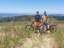
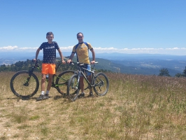
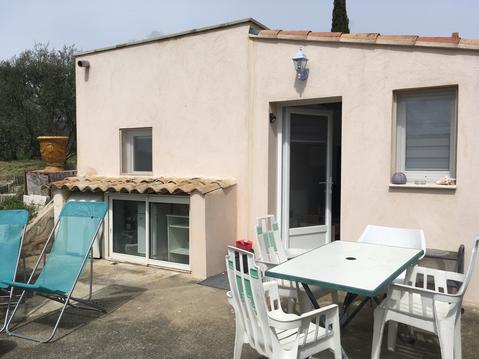
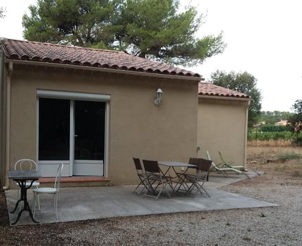
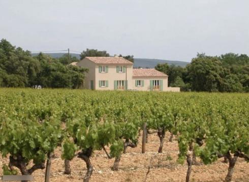
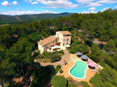
Photos & vidéos (3)
|
|
description
Circuit VTT assez ludique. La montée par le DFCI est douce et un peu monotone. Après le Mourre Nègre, la descende dans le GR est très sympa et pas très technique. Le retour par la route est très facile.
Attention: aucun point d'eau sur le parcours !
Attention: aucun point d'eau sur le parcours !
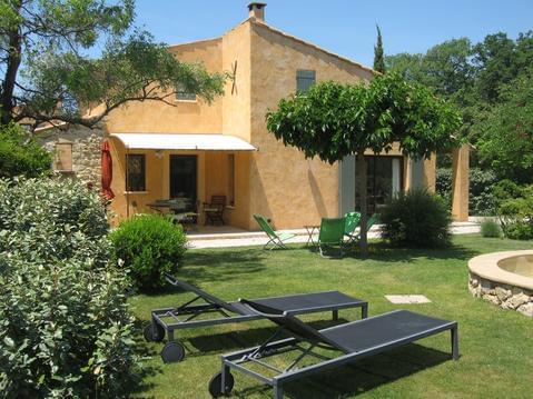
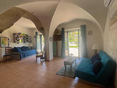
Hébergements à proximité


Francis
Note moyenne
Cartes associées
