
PR Plaine de Sorques
- Thématique Découverte
- Mis à jour le 07/02/2021
- Identifiant 1010214
Sélectionner le fond de carte

PLAN IGN

PHOTOS AERIENNES

CARTES IGN MULTI-ECHELLES

TOP 25 IGN

CARTES DES PENTES

PARCELLES CADASTRALES

CARTES OACI

CARTES 1950 IGN

CARTE DE L’ETAT-MAJOR (1820-1866)

Open Street Map
Afficher les points d'intérêt à proximité
Hébergements
Informations
Lieux d'intérêts
Producteurs
Restauration
Services et Commerces
Autre
Echelle
|
durée / niveau
Rando pédestre
|
distance
6,7 km
type parcours
Boucle
|
|||||||||
|
Lieu de départ
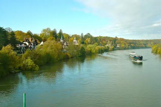
77690 Montigny-sur-Loing
|
accessibilite
|
|||||||||
|
prestations payantes
Non
|
type(s) de sol
|
|||||||||
Hébergements à proximité

infos parcours (4)
1
Parking Plaine de Sorques à Montigny
Informations complémentaires
kilomètre
0,01
latitude
48.3442
altitude
52
m
longitude
2.77594
2
: Sentier pénétrant dans la forêt
Informations complémentaires
kilomètre
0,07
latitude
48.3445
altitude
53
m
longitude
2.7756
3
Premier observatoire
Informations complémentaires
kilomètre
4,50
latitude
48.3413
altitude
49
m
longitude
2.79099
4
Second observatoire
Informations complémentaires
kilomètre
6,07
latitude
48.3407
altitude
52
m
longitude
2.77947
Régine
Note moyenne
Cartes associées
