
Vercors Die-Clelles
- Mis à jour le 28/06/2020
- Identifiant 1012984


|
durée / niveau
Rando pédestre
|
distance
25,7 km
type parcours
|
|||||||||
|
Lieu de départ
10 av sadi carnot
26150 Die |
accessibilite
|
|||||||||
|
prestations payantes
Non
|
type(s) de sol
|
|||||||||
Hébergements à proximité
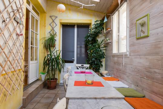
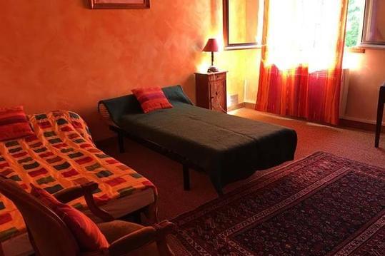
Cocon Familial - gîte de charme au centre de Die
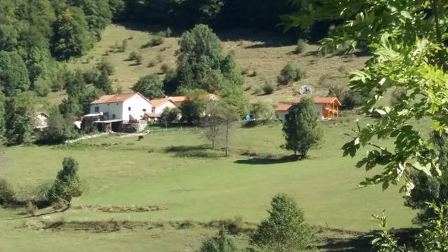
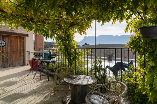
Maison de hameau dans le parc du vercors
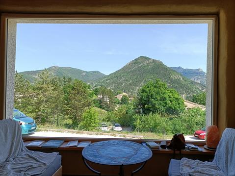
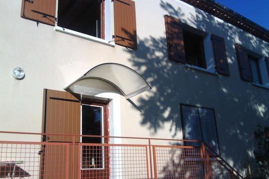
Gîte écologique ressourçant
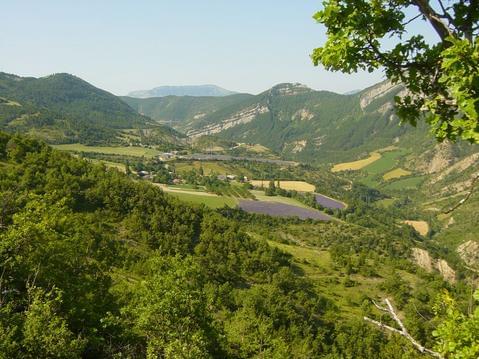
Gîte 5 à 8 pers. entre Diois et Drôme Provençale.
Gîte les Lauriers d'Aimée
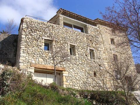
Maison en pierres dans village perché de Mirabel
La Terranga "La Dioise"
La Terranga "La Fleurie"

infos parcours (4)
Gare de Die, Die
Source du col de Bachassons
Cabane de Chaumailloux
Clelles-Mens, Clelles
Raphaël
Cartes associées
