
CIRCUIT RANDONNÉE 15,6 km
- Thématique Randonnée
- Mis à jour le 13/09/2021
- Identifiant 1051175
Sélectionner le fond de carte

PLAN IGN

PHOTOS AERIENNES

CARTES IGN MULTI-ECHELLES

TOP 25 IGN

CARTES DES PENTES

PARCELLES CADASTRALES

CARTES OACI

CARTES 1950 IGN

CARTE DE L’ETAT-MAJOR (1820-1866)

Open Street Map
Afficher les points d'intérêt à proximité
Hébergements
Informations
Lieux d'intérêts
Producteurs
Restauration
Services et Commerces
Autre
Echelle
|
durée / niveau
Rando pédestre
|
distance
15,5 km
type parcours
Boucle
|
|||||||||
|
Lieu de départ
51270 Suizy-le-Franc
|
accessibilite
|
|||||||||
|
prestations payantes
Non
|
type(s) de sol
Bitume
Graviers Terre Herbe |
|||||||||
|
Mots clés
DE, VIRADES, L'ESPOIR
|
||||||||||
Photos & vidéos (2)

|

|
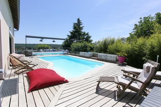
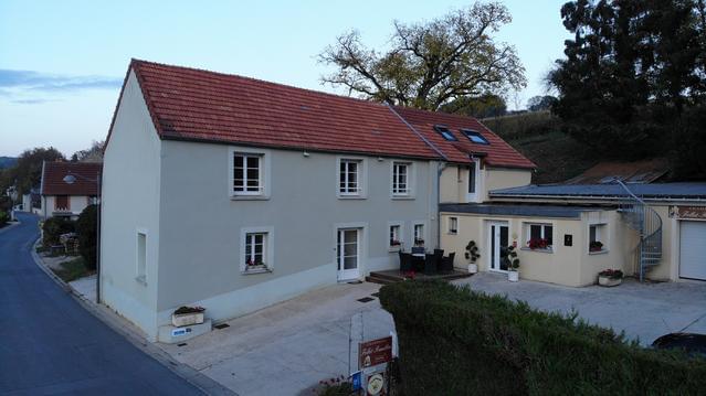
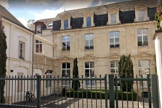
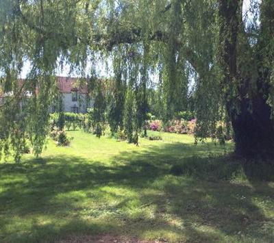
Hébergements à proximité


VIRADES DE L'ESPOIR
Inscription à partir de 9 h place de la mairie.
Restauration sur la place de la mairie: barbecue, buvette.
Restauration sur la place de la mairie: barbecue, buvette.
Pierre
Note moyenne
Cartes associées
