
Bois des Aresquiers
- Mis à jour le 05/08/2020
- Identifiant 1056435


|
durée / niveau
Rando pédestre
|
distance
9,5 km
type parcours
|
|||||||||
|
Lieu de départ
40 rte des aresquiers
34110 Vic-la-Gardiole |
accessibilite
|
|||||||||
|
prestations payantes
Non
|
type(s) de sol
|
|||||||||
Hébergements à proximité
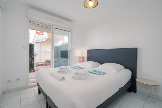
Rêve de Mer - appartement 6 personnes, à 2 pas de
front de mer
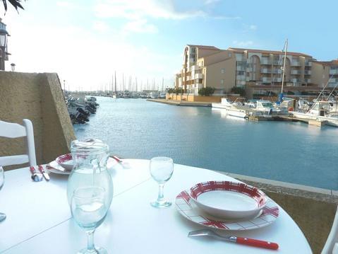
MAGNIFIQUE Appartement EN BORD DE MER avec VUE
Le Repaire du Gabian
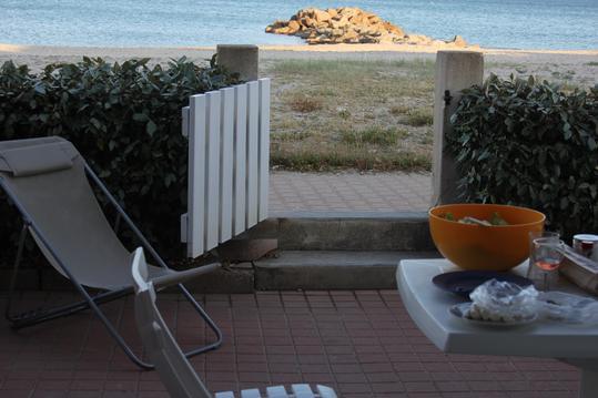
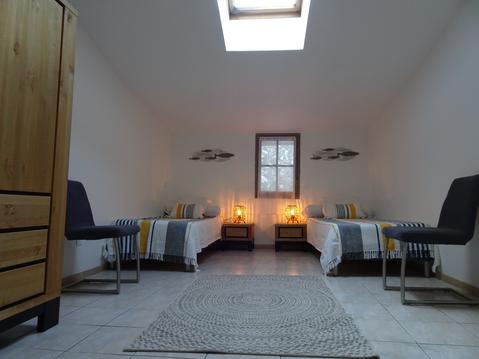
Grand appart 6/7 pers avec terrasse vue mer garage

maison tout confort 4/6 p a 50 m de la plage
Ravissante villa avec piscine près de la plage
Vacances et sports natures près des plages.

infos parcours (19)
Parking le long de la route des Aresquiers
Parking le long de la route des Aresquiers
Bord de l'étang
Carrefour de la boucle
prendre à gauche
À gauche au bord de l'étang
Passerelle
légèrement à droite
Sentier en face
Tout droit après pont de bois
À gauche entre les salins
Passerelle
Pour suivre en face
prendre à gauche vers le bois
Capitelle
piste à gauche
Piste de gauche au carrefour
À droite
À droite
PHILIPPE
Cartes associées
