
Lacs de la Croix et du Sambuis
- Thématique Montagne
- Mis à jour le 05/08/2020
- Identifiant 1056858
Sélectionner le fond de carte

PLAN IGN

PHOTOS AERIENNES

CARTES IGN MULTI-ECHELLES

TOP 25 IGN

CARTES DES PENTES

PARCELLES CADASTRALES

CARTES OACI

CARTES 1950 IGN

CARTE DE L’ETAT-MAJOR (1820-1866)

Open Street Map
Afficher les points d'intérêt à proximité
Hébergements
Informations
Lieux d'intérêts
Producteurs
Restauration
Services et Commerces
Autre
Echelle
|
durée / niveau
Rando pédestre
|
distance
9,3 km
type parcours
|
|||||||||
|
Lieu de départ
Saint-colomban-des-villards
|
accessibilite
|
|||||||||
|
prestations payantes
Non
|
type(s) de sol
Terre
Herbe Rochers |
|||||||||
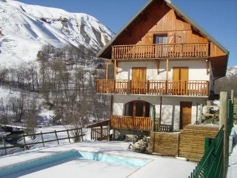
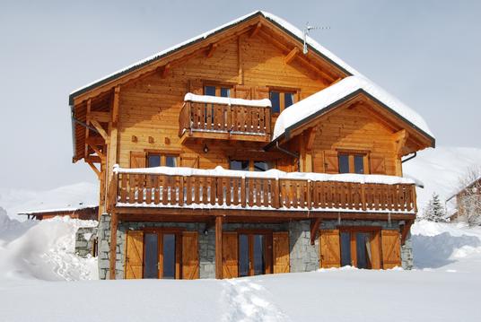
Hébergements à proximité


infos parcours (12)
1
Col du Glandon
Informations complémentaires
kilomètre
0,00
latitude
45.2395
altitude
1926
m
longitude
6.17502
2
Lac de La Combe
Informations complémentaires
kilomètre
0,44
latitude
45.2404
altitude
1942
m
longitude
6.16979
3
Sortie de la forêt
Informations complémentaires
kilomètre
0,88
latitude
45.2418
altitude
1942
m
longitude
6.16501
4
Jonction départ alternatif
Informations complémentaires
kilomètre
1,84
latitude
45.2497
altitude
2035
m
longitude
6.16232
5
Combe de la Croix - Cime du Sambuis
Informations complémentaires
kilomètre
1,95
latitude
45.2498
altitude
2052
m
longitude
6.16095
6
Goulet
Informations complémentaires
kilomètre
3,23
latitude
45.2545
altitude
2264
m
longitude
6.14669
7
Lac de la Croix
Informations complémentaires
kilomètre
3,72
latitude
45.2577
altitude
2416
m
longitude
6.14424
8
Col du Sambuis
Informations complémentaires
kilomètre
4,47
latitude
45.2618
altitude
2531
m
longitude
6.1495
9
Lac du Sambuis
Informations complémentaires
kilomètre
4,93
latitude
45.2606
altitude
2432
m
longitude
6.15464
10
Sentier du Sambuis
Informations complémentaires
kilomètre
5,32
latitude
45.2585
altitude
2419
m
longitude
6.15707
11
Petit lac
Informations complémentaires
kilomètre
5,49
latitude
45.259
altitude
2470
m
longitude
6.159
12
Passerelle
Informations complémentaires
kilomètre
6,93
latitude
45.2509
altitude
2061
m
longitude
6.16039
Daniel
Note moyenne
Cartes associées
