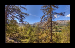
Col du Festre - Les Jassillous
- Mis à jour le 27/09/2020
- Identifiant 1065782
Sélectionner le fond de carte

PLAN IGN

PHOTOS AERIENNES

CARTES IGN MULTI-ECHELLES

TOP 25 IGN

CARTES DES PENTES

PARCELLES CADASTRALES

CARTES OACI

CARTES 1950 IGN

CARTE DE L’ETAT-MAJOR (1820-1866)

Open Street Map
Afficher les points d'intérêt à proximité
Hébergements
Informations
Lieux d'intérêts
Producteurs
Restauration
Services et Commerces
Autre
Echelle
|
durée / niveau
Rando pédestre
|
distance
8,9 km
type parcours
Boucle
|
|||||||||
|
Lieu de départ
05250 Dévoluy
|
accessibilite
|
|||||||||
|
prestations payantes
Non
|
type(s) de sol
Graviers
Herbe |
|||||||||
|
Mots clés
festre, jassilloux
|
||||||||||
Photos & vidéos (1)
|
description
Départ de Vaugelé. Bois de Chagier, la Lauzière.