
Rondje Quinson
- Thématique Balade
- Mis à jour le 21/06/2021
- Identifiant 1069483
Sélectionner le fond de carte

PLAN IGN

PHOTOS AERIENNES

CARTES IGN MULTI-ECHELLES

TOP 25 IGN

CARTES DES PENTES

PARCELLES CADASTRALES

CARTES OACI

CARTES 1950 IGN

CARTE DE L’ETAT-MAJOR (1820-1866)

Open Street Map
Afficher les points d'intérêt à proximité
Hébergements
Informations
Lieux d'intérêts
Producteurs
Restauration
Services et Commerces
Autre
Echelle
|
durée / niveau
Rando pédestre
|
distance
7,7 km
type parcours
Boucle
|
|||||||||
|
Lieu de départ
26400 Soyans
|
accessibilite
|
|||||||||
|
prestations payantes
Non
|
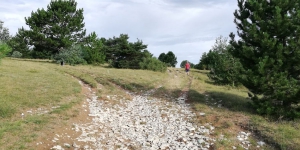
type(s) de sol
Graviers
Herbe Rochers |
|||||||||
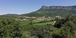
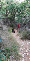
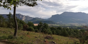
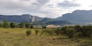
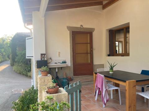
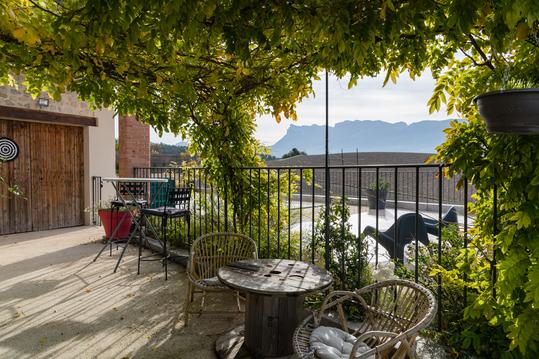
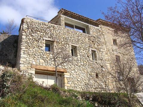
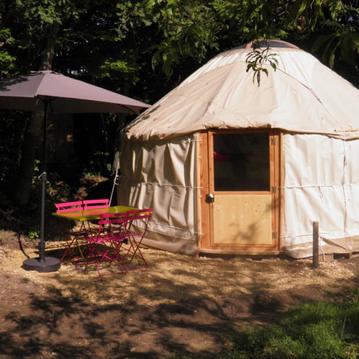
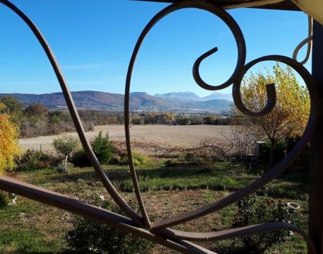
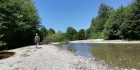
Photos & vidéos (5)
|
|
|
|
|
description
Kleine 2 uur, een wat lastiger afdaling maar met wandelschoenen goed te doen
Hébergements à proximité

infos parcours (5)
1
26400 Soyans
Volg de geasfalteerde weg
Informations complémentaires
26400 Soyans
kilomètre
0,47
latitude
44.6188
altitude
302
m
longitude
5.0457
2
ga rechtsaf de landweg op
Informations complémentaires
1000 che gaytal
26400 Soyans
26400 Soyans
kilomètre
0,89
latitude
44.6194
altitude
312
m
longitude
5.0506
3
26400 Soyans
het pad is niet heel duidelijk maar loop rechtdoor richting de bergen
Informations complémentaires
26400 Soyans
kilomètre
2,45
latitude
44.6203
altitude
372
m
longitude
5.06092
4
26400 Francillon-sur-Roubion
ook hier is niet een duidelijk pad maar houd het hek aan de rechterkant
Informations complémentaires
26400 Francillon-sur-Roubion
kilomètre
2,61
latitude
44.6217
altitude
407
m
longitude
5.06197
5
26400 Francillon-sur-Roubion
rechts paadje naar de Roubion
|
Informations complémentaires
26400 Francillon-sur-Roubion
kilomètre
4,54
latitude
44.6333
altitude
294
m
longitude
5.04932
Ingrid
Note moyenne
Cartes associées
