
Les Astazous, boucle par Tuquerouye
- Mis à jour le 30/08/2020
- Identifiant 1077838


|
durée / niveau
Rando pédestre
|
distance
22,0 km
type parcours
Boucle
|
|||||||||
|
Lieu de départ
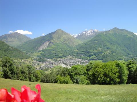
65120 Gavarnie-Gèdre
|
accessibilite
|
|||||||||
|
prestations payantes
Non
|
type(s) de sol
Terre
Herbe Rochers Neige |
|||||||||
description
Hébergements à proximité
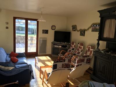
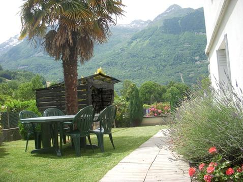
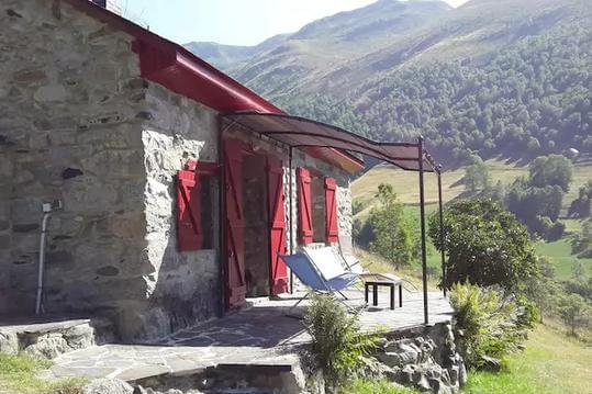
Location grande maison tout confort
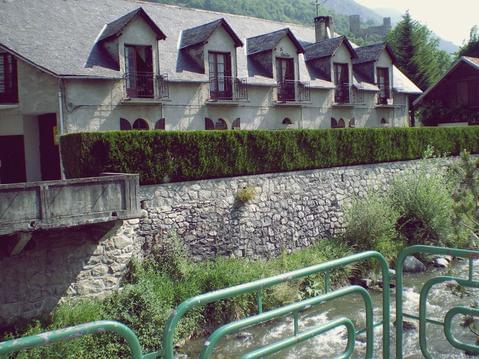
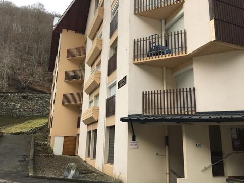
Appartement en rez de jardin, classé 3 étoiles
Appartement de charme - paysage "Le Marboré"
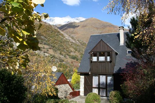
Chalet dans village entre Tourmalet et Gavarnie

Grange chaleureuse avec jacuzzi
la Lountère
BELLEVUE appartement vue montagne
Studio Barèges idéal ski, randonnées et cure

infos parcours (30)
Gavarnie
Croisement-1400m
Croisement-1740m
Chalet Refuge le Pailla 1750m
Croisement-1780m
Cabane de Pailla 1800m
Source-1780m
Croisement-1800m
Cours d'Eau intermittent
Les Rochers Blancs 2080m
Croisement-2490m
Pierrier
Crosiement-2830m
Croisement-Col-ou-Pic-d-Astazou-2862m
Col d-Astazou 2951m
Petit Astazou 3012m
Ressault
Col Swan 2960m
Le Grand Astazou 3071m
Sente-de-gauche-pour monter-au refuge-Impossible
Lac-Glacé-du-Marboré-2600m
Refuge-de-Touquerouye-2666m
Croisement-2200m
Croisement-2185m
Croisement-2392m
Hourquette-d-Alans-2430m
Croisement-2267m
Croisement-2041m
Refuge-des-Espuguettes-2027m
Source-1684m
Clément
Cartes associées
