
Les Menhirs du Plateau Lambert depuis la Croix d'Anselme
- Thématique Randonnée
- Mis à jour le 21/09/2020
- Identifiant 1096702
Sélectionner le fond de carte

PLAN IGN

PHOTOS AERIENNES

CARTES IGN MULTI-ECHELLES

TOP 25 IGN

CARTES DES PENTES

PARCELLES CADASTRALES

CARTES OACI

CARTES 1950 IGN

CARTE DE L’ETAT-MAJOR (1820-1866)

Open Street Map
Afficher les points d'intérêt à proximité
Hébergements
Informations
Lieux d'intérêts
Producteurs
Restauration
Services et Commerces
Autre
Echelle
|
durée / niveau
Rando pédestre
|
distance
11,5 km
type parcours
Boucle
|
|||||||||
|
Lieu de départ
83610 Collobrières
|
accessibilite
|
|||||||||
|
prestations payantes
Non
|
type(s) de sol
Bitume
Graviers Terre Herbe Rochers |
|||||||||
description
Les Menhirs du Plateau Lambert depuis la Croix d'Anselme
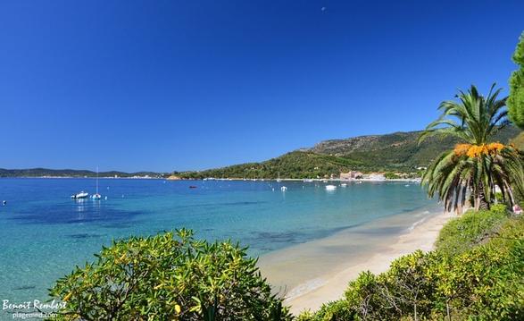
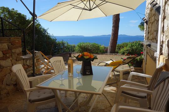
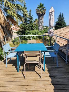
Hébergements à proximité


infos parcours (8)
1
La Croix d'Anselme - Parking
Informations complémentaires
kilomètre
0,00
latitude
43.238
altitude
351
m
longitude
6.3561
2
Croisement
Informations complémentaires
kilomètre
1,23
latitude
43.2346
altitude
391
m
longitude
6.34579
3
Fourche - Départ de piste
Informations complémentaires
kilomètre
4,21
latitude
43.2256
altitude
442
m
longitude
6.35177
4
Départ de chemin
Informations complémentaires
kilomètre
5,40
latitude
43.2177
altitude
465
m
longitude
6.34368
5
Carrefour
Informations complémentaires
kilomètre
6,02
latitude
43.2146
altitude
474
m
longitude
6.33801
6
Accès aux menhirs
Informations complémentaires
kilomètre
6,20
latitude
43.2158
altitude
472
m
longitude
6.33665
7
Maison forestière
Informations complémentaires
kilomètre
6,81
latitude
43.2192
altitude
487
m
longitude
6.33889
8
La Croix d'Anselme - Parking
Informations complémentaires
kilomètre
22,94
latitude
43.238
altitude
351
m
longitude
6.35609
notes, commentaires & photos (1)
Bernard
le 01/04/2024 à 08:18
herve
Note moyenne
Cartes associées
