
La Londe - Dolmen de Gaoutabry (Gauttobry) - Le Rouay de la Cabre
- Thématique Randonnée
- Mis à jour le 21/09/2020
- Identifiant 1096715


|
durée / niveau
Rando pédestre
|
distance
10,9 km
type parcours
|
|||||||||
|
Lieu de départ
477 rte de valcros
83250 La Londe-les-Maures |
accessibilite
|
|||||||||
|
prestations payantes
Non
|
type(s) de sol
Bitume
Graviers Terre Herbe Rochers |
|||||||||
description
Hébergements à proximité
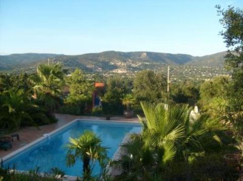
Mas sur golf de Valcros à La Londe les Maures
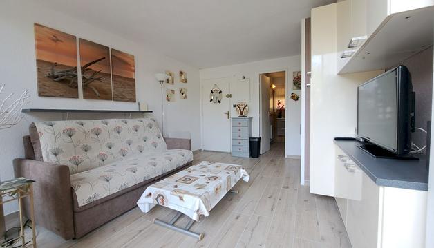
studio à 100 m de la plage et du sentier littoral
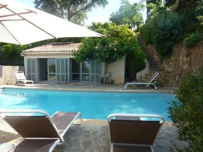
Belle propriété de caractère - 1 hectare de jardin
La plage, le port, la coline
Haut de maison à 10 minutes des plages
Terrasse des lavandières36m2ClimatiséVue îles d'Or
T3 au lavandou dans maison avec jardin classé 3**
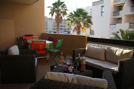
Le Ponant-Les hauts du Port-Le Lavandou

infos parcours (12)
Parking en bordure de la route de Valcros
Vignes, carrefour de la boucle
Citerne, piste à droite
Petit sentier à gauche de la citerne vers le
Piste, sentier en face
Croisement, grosse piste à droite
Croisement, sentier à gauche
Piste, traverser puis de suite à droite
Croisement piste, à gauche
Gué
Gué
Parking en bordure de la route de Valcros
herve
Cartes associées
