
Dabo vtt 42 kms
- Mis à jour le 31/10/2020
- Identifiant 1125022
Sélectionner le fond de carte

PLAN IGN

PHOTOS AERIENNES

CARTES IGN MULTI-ECHELLES

TOP 25 IGN

CARTES DES PENTES

PARCELLES CADASTRALES

CARTES OACI

CARTES 1950 IGN

CARTE DE L’ETAT-MAJOR (1820-1866)

Open Street Map
Afficher les points d'intérêt à proximité
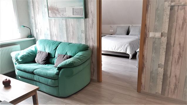
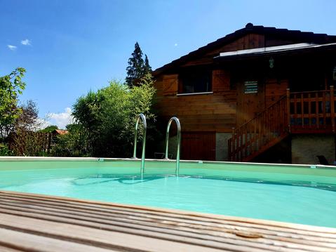
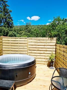
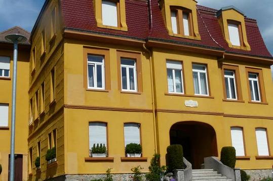
Hébergements
Informations
Lieux d'intérêts
Producteurs
Restauration
Services et Commerces
Autre
Echelle
|
durée / niveau
VTT
|
distance
42,3 km
type parcours
Boucle
|
|||||||||
|
Lieu de départ
57850 Dabo
|
accessibilite
|
|||||||||
|
prestations payantes
Non
|
type(s) de sol
|
|||||||||
Hébergements à proximité

infos parcours (18)
1
B5
450 m
Informations complémentaires
kilomètre
39,57
latitude
48.6475
altitude
460
m
longitude
7.23235
2
R5 Neustadtmuehle
Chemin et Sentier
Informations complémentaires
kilomètre
31,42
latitude
48.682
altitude
247
m
longitude
7.1972
3
R4 MF Bodenmark
Sentier
Informations complémentaires
kilomètre
53,61
latitude
48.7255
altitude
291
m
longitude
7.21396
4
R3 Moulin de Garrebourg
D98b et Chemin
Informations complémentaires
kilomètre
52,84
latitude
48.7228
altitude
232
m
longitude
7.24789
5
R2 Lochmuehl
Route
Informations complémentaires
kilomètre
64,70
latitude
48.6725
altitude
290
m
longitude
7.22219
6
R1 La Hoube
D45
Informations complémentaires
kilomètre
76,51
latitude
48.6462
altitude
633
m
longitude
7.28059
7
B8
D98c et D98d
Informations complémentaires
kilomètre
56,05
latitude
48.7034
altitude
235
m
longitude
7.21446
8
B7
Chemin
Informations complémentaires
kilomètre
59,93
latitude
48.6837
altitude
442
m
longitude
7.22403
9
B6 Vierge
Dabo
Informations complémentaires
kilomètre
83,52
latitude
48.6545
altitude
473
m
longitude
7.23322
10
AM1
Sentier
Informations complémentaires
kilomètre
71,72
latitude
48.6601
altitude
530
m
longitude
7.26317
11
B4
Chemin et Sentier
Informations complémentaires
kilomètre
49,98
latitude
48.659
altitude
275
m
longitude
7.19789
12
B2 26km
D98d et Chemin
Informations complémentaires
kilomètre
71,96
latitude
48.6585
altitude
516
m
longitude
7.26501
13
B1 26km
430 m
Informations complémentaires
kilomètre
84,54
latitude
48.6584
altitude
425
m
longitude
7.22911
14
AM6
Route et Chemin et Sentier
Informations complémentaires
kilomètre
52,25
latitude
48.6743
altitude
256
m
longitude
7.19484
15
AM5
Chemin
Informations complémentaires
kilomètre
53,12
latitude
48.6817
altitude
246
m
longitude
7.19753
16
AM4
Mur de Souténement
Informations complémentaires
kilomètre
53,90
latitude
48.7228
altitude
237
m
longitude
7.21188
17
AM3 - B3
390 m
Informations complémentaires
kilomètre
65,24
latitude
48.6753
altitude
385
m
longitude
7.22264
18
AM2
Chemin
Informations complémentaires
kilomètre
68,58
latitude
48.6755
altitude
475
m
longitude
7.24974
THIERRY
Note moyenne
Cartes associées
