
Montlouis/Loire - Tours
- Mis à jour le 21/07/2023
- Identifiant 1154769
Sélectionner le fond de carte

PLAN IGN

PHOTOS AERIENNES

CARTES IGN MULTI-ECHELLES

TOP 25 IGN

CARTES DES PENTES

PARCELLES CADASTRALES

CARTES OACI

CARTES 1950 IGN

CARTE DE L’ETAT-MAJOR (1820-1866)

Open Street Map
Afficher les points d'intérêt à proximité
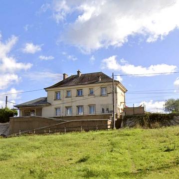
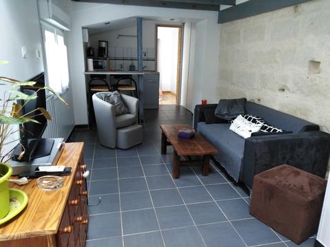
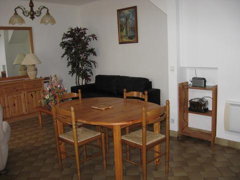
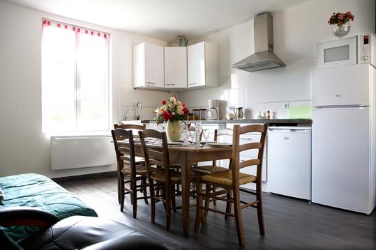
Hébergements
Informations
Lieux d'intérêts
Producteurs
Restauration
Services et Commerces
Autre
Echelle
|
durée / niveau
Rando pédestre
|
distance
15,5 km
type parcours
Aller Simple
|
|||||||||
|
Lieu de départ
37270 Montlouis-sur-Loire
|
accessibilite
|
|||||||||
|
prestations payantes
Non
|
type(s) de sol
Bitume
Terre |
|||||||||
description
Après un bref transfert en taxi jusqu’à Montlouis-sur-Loire, vous randonnerez jusqu’à Tours en longeant et traversant deux fois la Loire. Vous passerez également par Vouvray, célèbre pour son vin aux fines bulles, la dégustation vous est offerte !
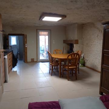
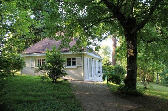
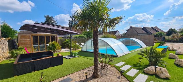
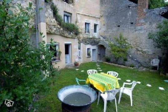
Hébergements à proximité

infos parcours (7)
1
37270 Montlouis-sur-Loire
Point 1
Informations complémentaires
37270 Montlouis-sur-Loire
kilomètre
0,89
latitude
47.392
altitude
54
m
longitude
0.817473
2
37210 Vouvray
Point 2
Informations complémentaires
37210 Vouvray
kilomètre
1,32
latitude
47.3955
altitude
60
m
longitude
0.820005
3
37210 Vouvray
Point 3
Informations complémentaires
37210 Vouvray
kilomètre
3,49
latitude
47.4073
altitude
55
m
longitude
0.799132
4
37210 Rochecorbon
Point 4
Informations complémentaires
37210 Rochecorbon
kilomètre
5,63
latitude
47.4116
altitude
54
m
longitude
0.781789
5
37210 Rochecorbon
Point 5
Informations complémentaires
37210 Rochecorbon
kilomètre
7,08
latitude
47.4134
altitude
92
m
longitude
0.773292
6
37210 Rochecorbon
Point 6
Informations complémentaires
37210 Rochecorbon
kilomètre
8,98
latitude
47.409
altitude
53
m
longitude
0.759645
7
37000 Tours
Point 7
Informations complémentaires
37000 Tours
kilomètre
14,27
latitude
47.402
altitude
52
m
longitude
0.693405
MIKAEL
Note moyenne
Cartes associées

