
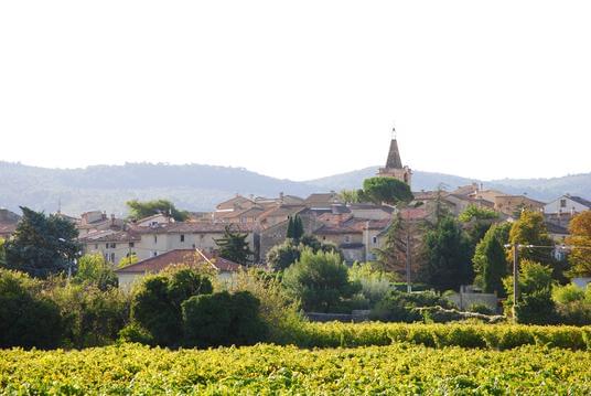
Villes sur Auzon
- Mis à jour le 30/01/2021
- Identifiant 1170446
Sélectionner le fond de carte

PLAN IGN

PHOTOS AERIENNES

CARTES IGN MULTI-ECHELLES

TOP 25 IGN

CARTES DES PENTES

PARCELLES CADASTRALES

CARTES OACI

CARTES 1950 IGN

CARTE DE L’ETAT-MAJOR (1820-1866)

Open Street Map
Afficher les points d'intérêt à proximité
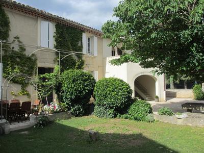
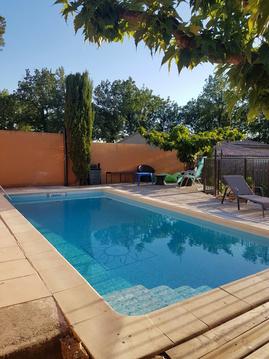
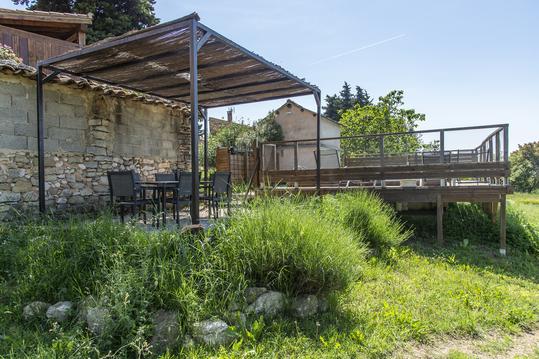
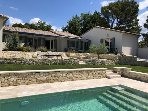
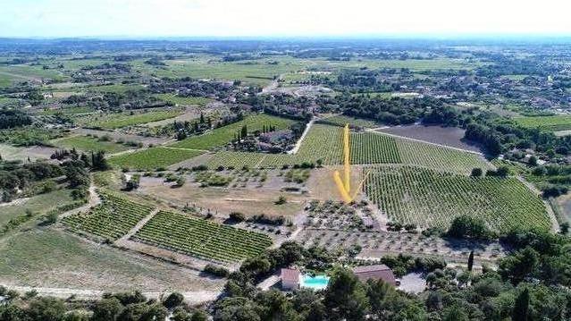
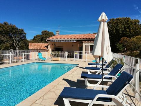
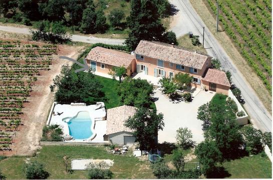
Hébergements
Informations
Lieux d'intérêts
Producteurs
Restauration
Services et Commerces
Autre
Echelle
|
durée / niveau
Rando pédestre
|
distance
8,6 km
type parcours
Boucle
|
|||||||||
|
Lieu de départ
84570 Villes-sur-Auzon
|
accessibilite
|
|||||||||
|
prestations payantes
Non
|
type(s) de sol
Bitume
Terre |
|||||||||
Hébergements à proximité

infos parcours (8)
1
Parking terrains de sport à Villes-sur-Auzon
Informations complémentaires
kilomètre
0,00
latitude
44.0545
altitude
302
m
longitude
5.23679
2
Réganéou
Informations complémentaires
kilomètre
0,47
latitude
44.0533
altitude
319
m
longitude
5.24111
3
Les Escampeaux
Informations complémentaires
kilomètre
2,29
latitude
44.0639
altitude
400
m
longitude
5.25496
4
Croisement cote 455
Informations complémentaires
kilomètre
2,73
latitude
44.0638
altitude
454
m
longitude
5.26032
5
Croisement cote 574
Informations complémentaires
kilomètre
3,59
latitude
44.0587
altitude
572
m
longitude
5.2679
6
Balavard, sur la D942
Informations complémentaires
kilomètre
5,89
latitude
44.0427
altitude
429
m
longitude
5.25146
7
Le Plateau
Informations complémentaires
kilomètre
6,41
latitude
44.0399
altitude
429
m
longitude
5.24672
8
Parking terrains de sport à Villes-sur-Auzon
Informations complémentaires
kilomètre
17,24
latitude
44.0545
altitude
302
m
longitude
5.23671
daniel
Note moyenne
Cartes associées
