
Circuit chapelle ainhoa
- Mis à jour le 03/02/2021
- Identifiant 1172765


|
durée / niveau
Rando pédestre
|
distance
7,8 km
type parcours
|
|||||||||
|
Lieu de départ
64250 Ainhoa
|
accessibilite
|
|||||||||
|
prestations payantes
Non
|
type(s) de sol
|
|||||||||
Hébergements à proximité
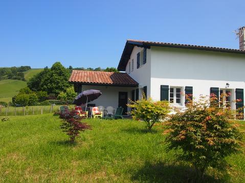
maison entre mer et montagne 4 étoiles 2020
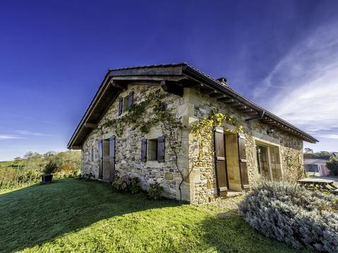
BERGERIE dans Village TYPIQUE. Trois ÉTOILES.
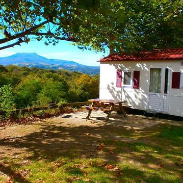
chalet mobile camping manex
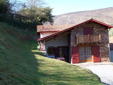
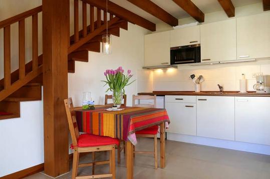
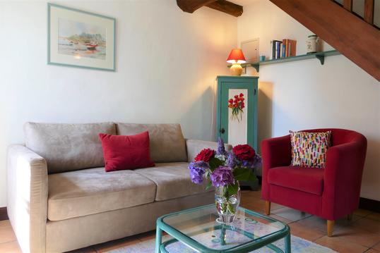
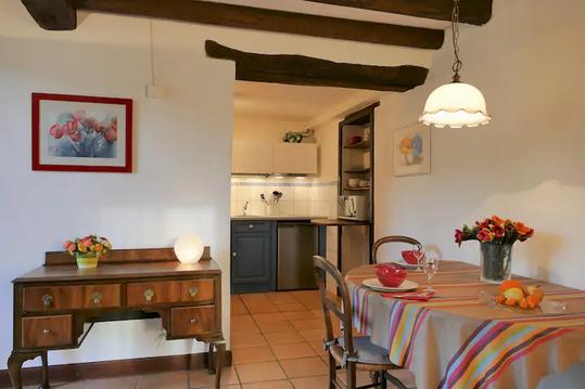
Gite 2 personnes à Itxassou au Pays Basque
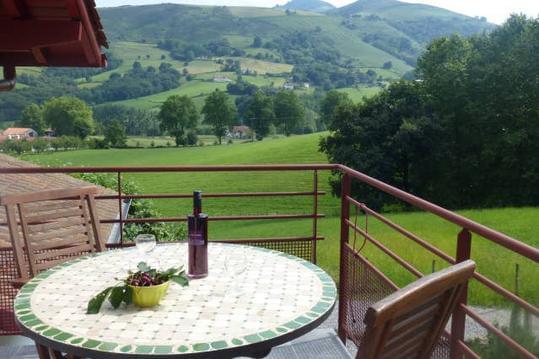
Au Pays basque, gite entre mer et montagne
Mondarrain 3* au BaskoParadis
Ursuya 3* au BaskoParadis
Artzamendi 3* au BaskoParadis

infos parcours (10)
Fronton de pelote basque
Croisement Rue Qua Karrika
Début du chemin de croix à gauche
Les trois croix
Quitter le GR10 qui continue à droite
Prendre à gauche
Amorce de la descente sur le village à gauche
Route à partir de la ferme Tanburinborda
Carrefour, en face sur Qua Boxate
Fronton de pelote basque
Xabi
Cartes associées
