
Randonnée Le gallo-romain sylvanois
- Mis à jour le 23/06/2025
- Identifiant 1183960
Sélectionner le fond de carte

PLAN IGN

PHOTOS AERIENNES

CARTES IGN MULTI-ECHELLES

TOP 25 IGN

CARTES DES PENTES

PARCELLES CADASTRALES

CARTES OACI

CARTES 1950 IGN

CARTE DE L’ETAT-MAJOR (1820-1866)

Open Street Map
Afficher les points d'intérêt à proximité
Hébergements
Informations
Lieux d'intérêts
Producteurs
Restauration
Services et Commerces
Autre
Echelle
|
durée / niveau
Rando pédestre
|
distance
32,0 km
type parcours
|
|||||||||
|
Lieu de départ
LE FIEF-SAUVIN
|
accessibilite
|
|||||||||
|
prestations payantes
Non
|
type(s) de sol
|
|||||||||
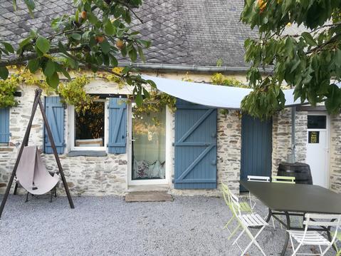
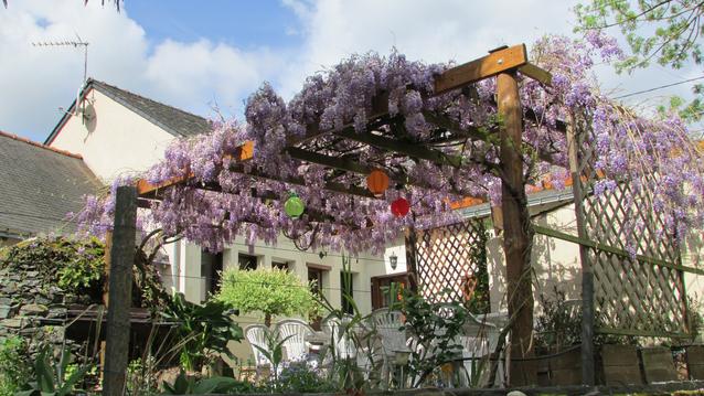
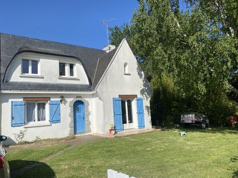
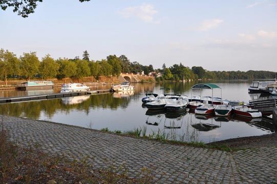
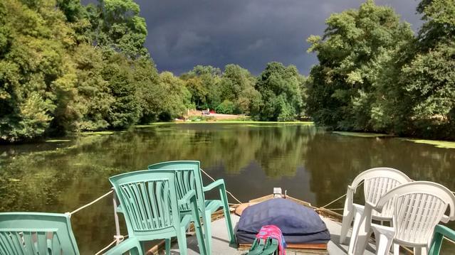
Photos & vidéos (4)
|

|
|
|
description
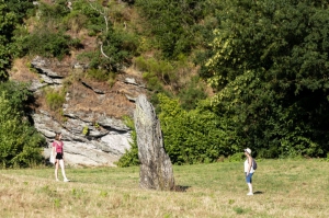
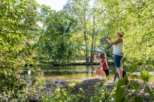
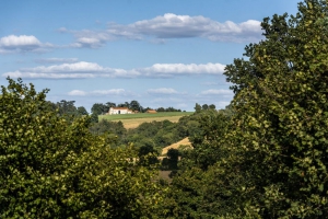
Le Fief Sauvin était le carrefour de 3 voies romaines : la Ségora. Une ancienne voie pavée qui commençait à Nantes pour se terminer à Poitiers. Le village était alors peuplé de près de 10 000 habitants.De nombreux sites Gallo-romain ont été construits à l'époque pour protéger les mines d'or investies par les Romains.La randonnée pédestre vous fera traverser la forêt de Leppo et cheminer le long des coteaux de l'Evre.Avant de partir sur cet itinéraire pensez à votre pique-nique des artisans des bords de Loire...
Hébergements à proximité

Balisage
Blanc
Lien(s)
Contact
Email : contact@osezmauges.fr
Téléphone : 02 41 39 07 07
Téléphone : 02 41 39 07 07
Réseau e-SPRIT
Note moyenne
Cartes associées
