Le Domaine d'Ambel
- Thématique Montagne
- Mis à jour le 01/08/2022
- Identifiant 12410
Sélectionner le fond de carte

PLAN IGN

PHOTOS AERIENNES

CARTES IGN MULTI-ECHELLES

TOP 25 IGN

CARTES DES PENTES

PARCELLES CADASTRALES

CARTES OACI

CARTES 1950 IGN

CARTE DE L’ETAT-MAJOR (1820-1866)

Open Street Map
Afficher les points d'intérêt à proximité
Hébergements
Informations
Lieux d'intérêts
Producteurs
Restauration
Services et Commerces
Autre
Echelle
|
durée / niveau
Rando pédestre
|
distance
14,7 km
type parcours
Boucle
|
|||||||||
|
Lieu de départ
26400 Omblèze
|
accessibilite
|
|||||||||
|
prestations payantes
Non
|
type(s) de sol
|
|||||||||
|
Mots clés
ffrandonnée, pr
|
||||||||||
Photos & vidéos (1)
|
description
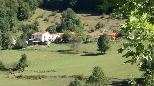
Le domaine d’Ambel, propriété du Département, est un milieu naturel remarquable, modelé par l’homme depuis des générations.
Hébergements à proximité

données de référence
Promenade et Randonnée - PR
En savoir plus »
Balisage
1 à 2 > jaune-vert
2 à 3 > blanc-rouge
3 à 6 > jaune-vert
6 à 2 > blanc-rouge
2 à 3 > blanc-rouge
3 à 6 > jaune-vert
6 à 2 > blanc-rouge