
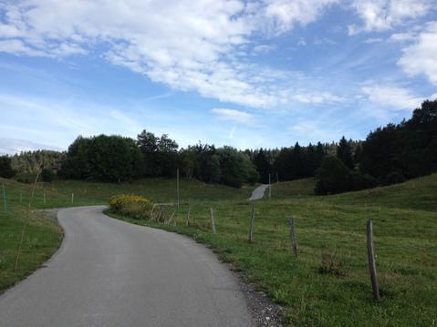
Vulvoz cascade du Moulin depuis Choux
- Thématique Balade
- Mis à jour le 21/05/2021
- Identifiant 1275861
Sélectionner le fond de carte

PLAN IGN

PHOTOS AERIENNES

CARTES IGN MULTI-ECHELLES

TOP 25 IGN

CARTES DES PENTES

PARCELLES CADASTRALES

CARTES OACI

CARTES 1950 IGN

CARTE DE L’ETAT-MAJOR (1820-1866)

Open Street Map
Afficher les points d'intérêt à proximité
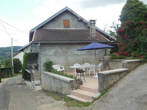
Hébergements
Informations
Lieux d'intérêts
Producteurs
Restauration
Services et Commerces
Autre
Echelle
|
durée / niveau
Rando pédestre
|
distance
15,0 km
type parcours
Boucle
|
|||||||||
|
Lieu de départ
39370 Choux
|
accessibilite
|
|||||||||
|
prestations payantes
Non
|
type(s) de sol
Bitume
Terre Herbe |
|||||||||
description
Circuit en boucle au départ de Choux. Magnifique cascade vue de dessus et du bas.
Beau paysages avec l'église de Choux en point de mire.
Très beaux belvédères, ont celui du Cuchet.
Beau paysages avec l'église de Choux en point de mire.
Très beaux belvédères, ont celui du Cuchet.
Hébergements à proximité

infos parcours (11)
1
Chemin de la Courbière.
Informations complémentaires
kilomètre
0,13
latitude
46.3051
altitude
820
m
longitude
5.76944
2
Intersection
Informations complémentaires
kilomètre
0,31
latitude
46.3064
altitude
799
m
longitude
5.7703
3
Cascade du Moulin
Informations complémentaires
kilomètre
3,17
latitude
46.3253
altitude
508
m
longitude
5.77797
4
.Vulvoz
Informations complémentaires
kilomètre
4,34
latitude
46.3276
altitude
570
m
longitude
5.78817
5
Samiat
Informations complémentaires
kilomètre
5,99
latitude
46.337
altitude
709
m
longitude
5.78287
6
Virer à gauche
Informations complémentaires
kilomètre
8,43
latitude
46.3264
altitude
945
m
longitude
5.80432
7
Intersection Pré d'Aval
Informations complémentaires
kilomètre
9,19
latitude
46.3244
altitude
936
m
longitude
5.81125
8
Poursuivre tout droit
Informations complémentaires
kilomètre
9,73
latitude
46.32
altitude
898
m
longitude
5.80917
9
A droite sur le GRP
Informations complémentaires
kilomètre
11,64
latitude
46.3105
altitude
972
m
longitude
5.79373
10
A droite vers le belvédère
Informations complémentaires
kilomètre
12,07
latitude
46.3086
altitude
986
m
longitude
5.78959
11
Belvédère du Cuchet
Informations complémentaires
kilomètre
12,40
latitude
46.3092
altitude
1012
m
longitude
5.78552
Jean-Michel
Note moyenne
Cartes associées
