
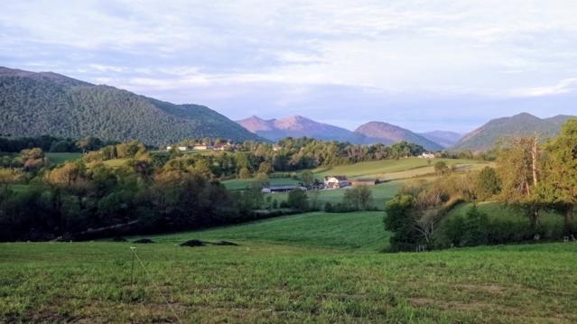
Gorges Ehujarre
- Thématique Montagne
- Mis à jour le 05/11/2016
- Identifiant 148049
Sélectionner le fond de carte

PLAN IGN

PHOTOS AERIENNES

CARTES IGN MULTI-ECHELLES

TOP 25 IGN

CARTES DES PENTES

PARCELLES CADASTRALES

CARTES OACI

CARTES 1950 IGN

CARTE DE L’ETAT-MAJOR (1820-1866)

Open Street Map
Afficher les points d'intérêt à proximité
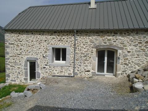
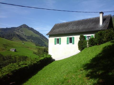
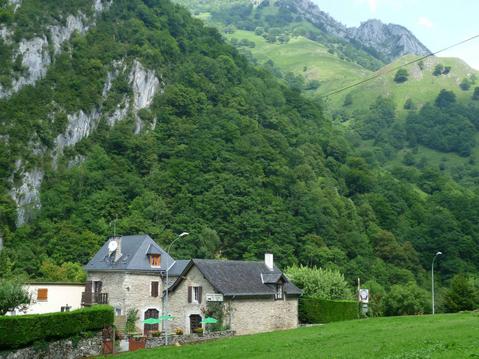
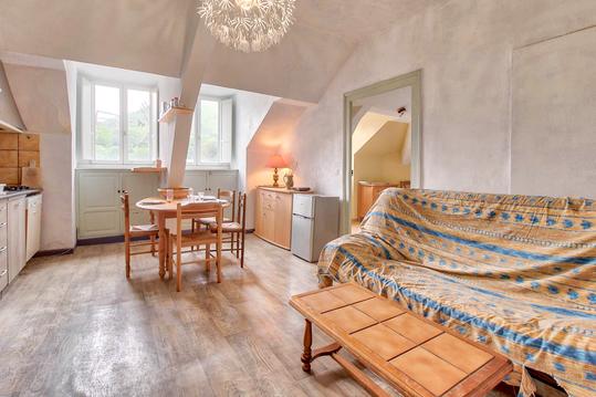
Hébergements
Informations
Lieux d'intérêts
Producteurs
Restauration
Services et Commerces
Autre
Echelle
|
durée / niveau
Rando pédestre
|
distance
14,4 km
type parcours
Boucle
|
|||||||||
|
Lieu de départ
64560 Sainte-Engrâce
|
accessibilite
|
|||||||||
|
prestations payantes
Non
|
type(s) de sol
Bitume
Herbe Rochers |
|||||||||
Hébergements à proximité


infos parcours (13)
1
Atxuria
Informations complémentaires
kilomètre
67,72
latitude
43.2618
altitude
370
m
longitude
-1.55102
2
75
Col ds 3 bornes
Informations complémentaires
75
kilomètre
68,89
latitude
43.2497
altitude
523
m
longitude
-1.57504
3
Sentinelle d' Orizki
Informations complémentaires
kilomètre
69,30
latitude
43.2424
altitude
600
m
longitude
-1.58493
4
64310 Sare
Croisement 1
Informations complémentaires
64310 Sare
kilomètre
69,57
latitude
43.2627
altitude
412
m
longitude
-1.57585
5
64310 Sare
Croisement 2
Informations complémentaires
64310 Sare
kilomètre
69,67
latitude
43.2601
altitude
418
m
longitude
-1.57901
6
64310 Sare
Croisement 5
Informations complémentaires
64310 Sare
kilomètre
69,75
latitude
43.2651
altitude
322
m
longitude
-1.57677
7
64310 Sare
Croisement 4
Informations complémentaires
64310 Sare
kilomètre
69,82
latitude
43.2621
altitude
385
m
longitude
-1.57967
8
64310 Sare
Croisement 3
Informations complémentaires
64310 Sare
kilomètre
70,13
latitude
43.2603
altitude
473
m
longitude
-1.58519
9
64310 Sare
Point côté 505
Informations complémentaires
64310 Sare
kilomètre
70,70
latitude
43.2546
altitude
505
m
longitude
-1.59647
10
64310 Sare
Point côté 387
Informations complémentaires
64310 Sare
kilomètre
71,34
latitude
43.2652
altitude
380
m
longitude
-1.59849
11
64310 Sare
Borne frontière 47
Informations complémentaires
64310 Sare
kilomètre
71,70
latitude
43.2552
altitude
458
m
longitude
-1.6097
12
64310 Sare
Accès route forestière
Informations complémentaires
64310 Sare
kilomètre
71,74
latitude
43.262
altitude
257
m
longitude
-1.60599
13
64310 Sare
Route D306
Informations complémentaires
64310 Sare
kilomètre
71,98
latitude
43.2621
altitude
282
m
longitude
-1.60926

