
Atxuterria et Orhi
- Thématique Montagne
- Mis à jour le 21/01/2018
- Identifiant 148253


|
durée / niveau
Rando pédestre
|
distance
13,8 km
type parcours
Aller/Retour
|
|||||||||
|
Lieu de départ
64560 Larrau
|
accessibilite
|
|||||||||
|
prestations payantes
Non
|
type(s) de sol
Herbe
Rochers |
|||||||||
description
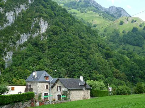
Hébergements à proximité
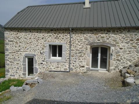
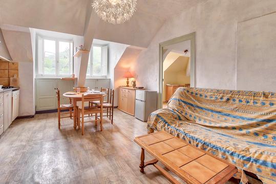
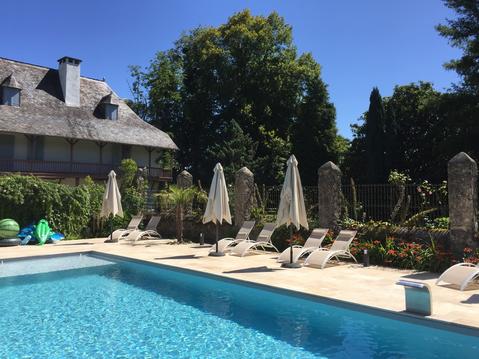
Ressourcement nature grange rénovée en Béarn 2 p.
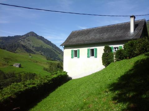
Ressourcement nature gîte Béarn 4 personnes
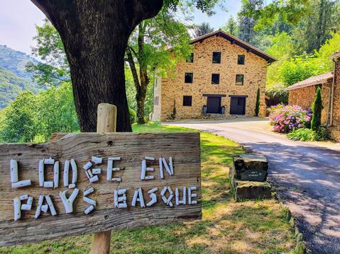
Gîte de charme Lodge en Pays Basque
Maison de vacances " La Cavalière"
Au nid du gypaéte (oiseau local)

Ascendance gîte Gîte pour volatiles... et autre

Gîte Josbaig (4 pers)
Gîte Barétous (4 pers)

infos parcours (13)
Atxuria
Col ds 3 bornes
75
Sentinelle d' Orizki
Croisement 1
64310 Sare
Croisement 2
64310 Sare
Croisement 5
64310 Sare
Croisement 4
64310 Sare
Croisement 3
64310 Sare
Point côté 505
64310 Sare
Point côté 387
64310 Sare
Borne frontière 47
64310 Sare
Accès route forestière
64310 Sare
Route D306
64310 Sare

