
Col de la Charmille
- Thématique Randonnée
- Mis à jour le 25/12/2016
- Identifiant 155985
Sélectionner le fond de carte

PLAN IGN

PHOTOS AERIENNES

CARTES IGN MULTI-ECHELLES

TOP 25 IGN

CARTES DES PENTES

PARCELLES CADASTRALES

CARTES OACI

CARTES 1950 IGN

CARTE DE L’ETAT-MAJOR (1820-1866)

Open Street Map
Afficher les points d'intérêt à proximité
Hébergements
Informations
Lieux d'intérêts
Producteurs
Restauration
Services et Commerces
Autre
Echelle
|
durée / niveau
Rando pédestre
|
distance
14,0 km
type parcours
Boucle
|
|||||||||
|
Lieu de départ
38380 Saint-Laurent-du-Pont
|
accessibilite
|
|||||||||
|
prestations payantes
Non
|
type(s) de sol
Terre
Herbe Rochers |
|||||||||
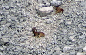
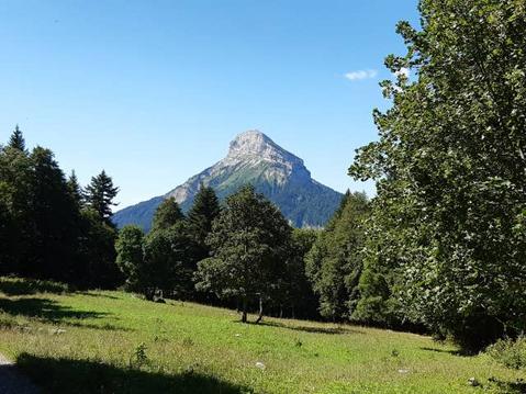
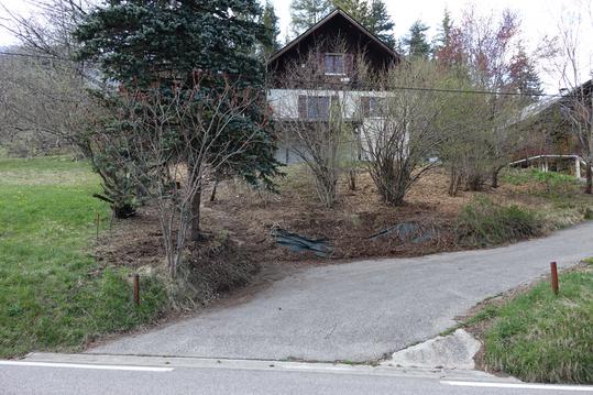
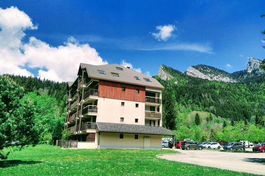
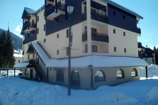
Photos & vidéos (3)
|
|
|
Hébergements à proximité

Points d'interêt (2)
A
38380 Saint-Laurent-du-Pont
Voir la fiche du point d'intéret »
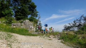
Belvédère de Nonne
Points de vue, panorama
Vue magnifique sur la vallée du Guiers,on accède assez rapidement à ce belvédère par une piste forestière sans difficulté
Informations complémentaires
38380 Saint-Laurent-du-Pont
kilomètre
2,69
latitude
45.3701
altitude
1180
m
longitude
5.73748
B
38380 Saint-Laurent-du-Pont
Voir la fiche du point d'intéret »
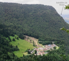
Chartreuse de Curière
Eglise, Abbaye, monastère
Informations complémentaires
38380 Saint-Laurent-du-Pont
kilomètre
13,94
latitude
45.3605
altitude
838
m
longitude
5.7434
