Mont Serein-Col des Tempêtes
- Thématique Randonnée
- Mis à jour le 09/01/2017
- Identifiant 158310
Sélectionner le fond de carte

PLAN IGN

PHOTOS AERIENNES

CARTES IGN MULTI-ECHELLES

TOP 25 IGN

CARTES DES PENTES

PARCELLES CADASTRALES

CARTES OACI

CARTES 1950 IGN

CARTE DE L’ETAT-MAJOR (1820-1866)

Open Street Map
Afficher les points d'intérêt à proximité
Hébergements
Informations
Lieux d'intérêts
Producteurs
Restauration
Services et Commerces
Autre
Echelle
|
durée / niveau
Rando pédestre
|
distance
14,8 km
type parcours
Boucle
|
|||||||||
|
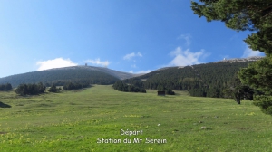
Lieu de départ
84340 Beaumont-du-Ventoux
|
accessibilite
|
|||||||||
|
prestations payantes
Non
|
type(s) de sol
Bitume
Graviers Terre Herbe |
|||||||||
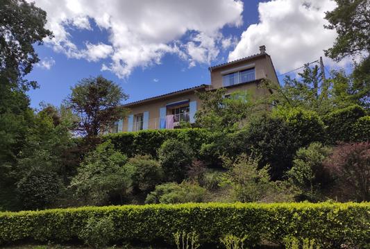
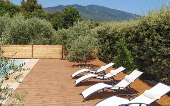
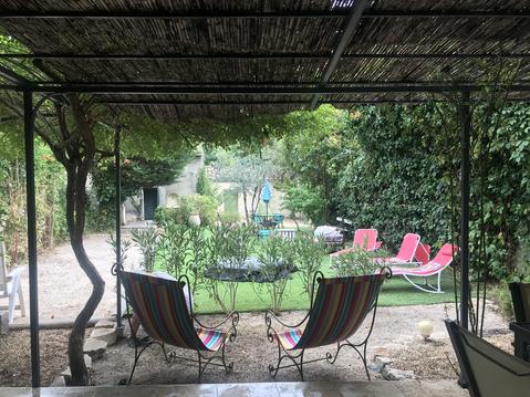
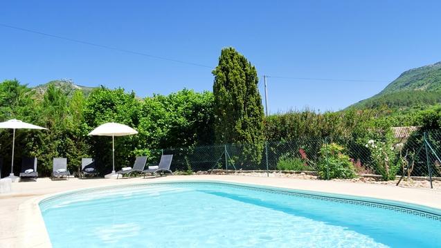
Photos & vidéos (5)
|
|
|
|
|
description
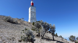
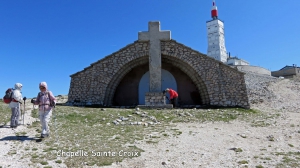
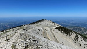
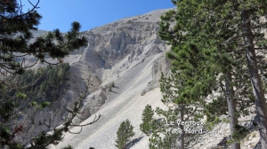
Paysage lunaire et un 360° magnifique.
Attention la météo change très vite et prévoir au départ de l'eau pour toute la randonnée.
Attention la météo change très vite et prévoir au départ de l'eau pour toute la randonnée.