
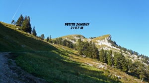
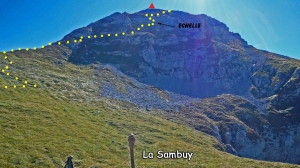
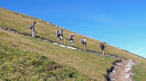
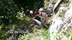
Pointe de la Sambuy
- Thématique Randonnée
- Mis à jour le 24/02/2017
- Identifiant 166147


|
durée / niveau
Rando pédestre
|
distance
11,6 km
type parcours
Boucle
|
|||||||||
|
Lieu de départ
74210 Faverges-Seythenex
|
accessibilite
|
|||||||||
|
prestations payantes
Non
|
type(s) de sol
Graviers
Terre Herbe |
|||||||||
Photos & vidéos (5)
|
|
|

|
|
description
Hébergements à proximité
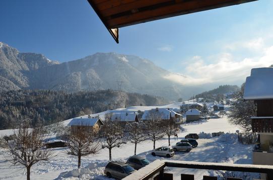
Lac et montagne
Appartement été/hiver Appart T2 2/4p piscine
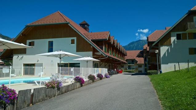
Le Balcon du Golf - Lac d'Annecy
Entre Lac et Montagnes - La Sambuy
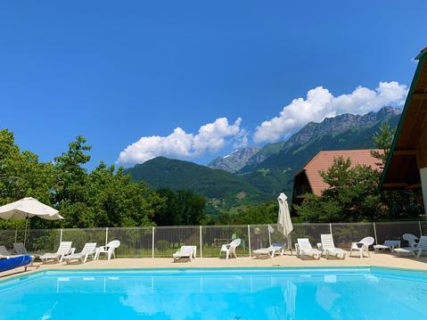
Côté Montagnes : Logement avec jardin privatif
L'Arclosan : au carrefour des Alpes
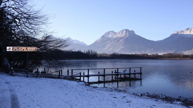
LA BELLE ETOILE-Lac d'Annecy à 4 Km
L'ARCALOD : Gites de 78 M², entrée indépendante

