
Conflans-fin-d'oise => sartrouville via maison laffite
- Thématique Balade
- Mis à jour le 11/04/2017
- Identifiant 167854
Sélectionner le fond de carte

PLAN IGN

PHOTOS AERIENNES

CARTES IGN MULTI-ECHELLES

TOP 25 IGN

CARTES DES PENTES

PARCELLES CADASTRALES

CARTES OACI

CARTES 1950 IGN

CARTE DE L’ETAT-MAJOR (1820-1866)

Open Street Map
Afficher les points d'intérêt à proximité
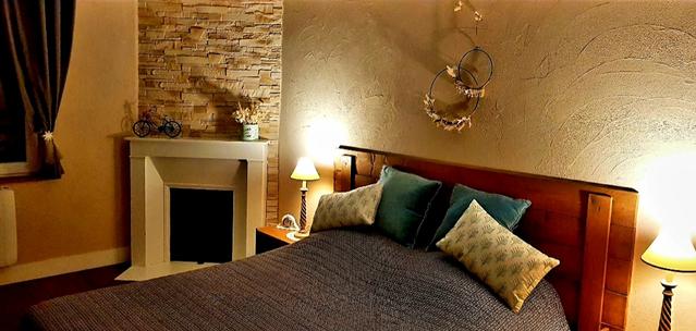
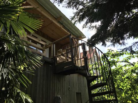
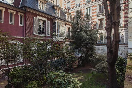
Hébergements
Informations
Lieux d'intérêts
Producteurs
Restauration
Services et Commerces
Autre
Echelle
|
durée / niveau
Rando pédestre
|
distance
21,4 km
type parcours
Boucle
|
|||||||||
|
Lieu de départ
4 qu eugene le corre
78700 Conflans-Sainte-Honorine |
accessibilite
|
|||||||||
|
prestations payantes
Non
|
type(s) de sol
Bitume
Sable Terre Herbe |
|||||||||
|
Mots clés
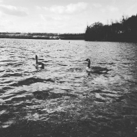
seine, joli, eau, foret, germain
|
||||||||||
Photos & vidéos (1)
|
description
Boucle de plus de 20 km traversant la forêt de St germain via les étangs du cora pour finir en longeant les quais d'Eragny et Conflans.
Hébergements à proximité


notes, commentaires & photos (1)
Françoise
le 23/06/2024 à 12:07

