Le Tournoud-Col des Ayes
- Thématique Randonnée
- Mis à jour le 12/03/2017
- Identifiant 168266
Sélectionner le fond de carte

PLAN IGN

PHOTOS AERIENNES

CARTES IGN MULTI-ECHELLES

TOP 25 IGN

CARTES DES PENTES

PARCELLES CADASTRALES

CARTES OACI

CARTES 1950 IGN

CARTE DE L’ETAT-MAJOR (1820-1866)

Open Street Map
Afficher les points d'intérêt à proximité
Hébergements
Informations
Lieux d'intérêts
Producteurs
Restauration
Services et Commerces
Autre
Echelle
|
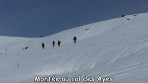
durée / niveau
Rando pédestre
|
distance
10,0 km
type parcours
Boucle
|
|||||||||
|
Lieu de départ
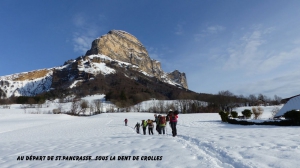
38660 Saint-Pancrasse
|
accessibilite
|
|||||||||
|
prestations payantes
Non
|
type(s) de sol
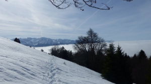
Bitume
Terre Herbe |
|||||||||
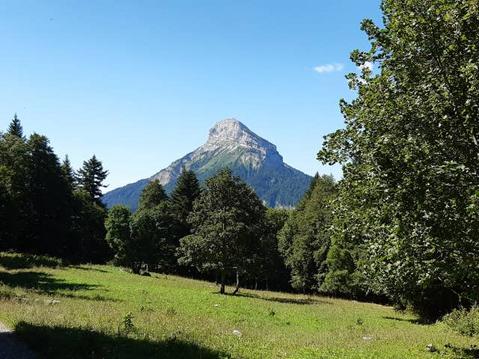
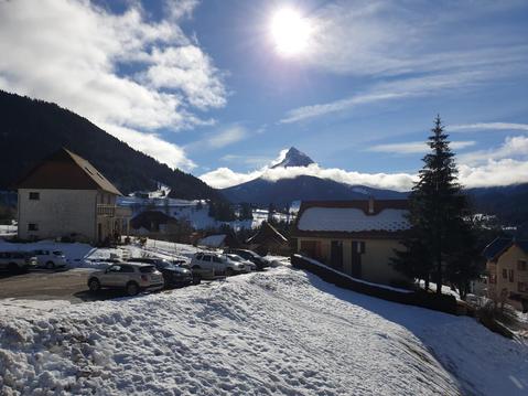
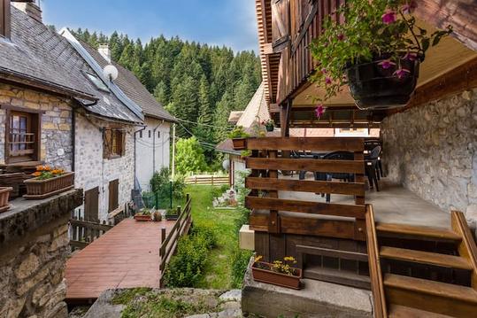
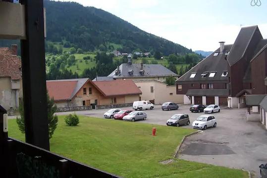
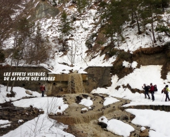
Photos & vidéos (5)
|
|
|
|
|
description
Départ de la Mairie ou de l'église de St Pancrasse (Le Tournoud)
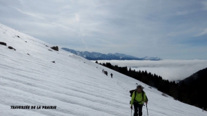
Le parcours peut être raccourci en partant après le hameau du Baure cote 1217 (accès pendant l'hiver).
Le parcours peut être raccourci en partant après le hameau du Baure cote 1217 (accès pendant l'hiver).