
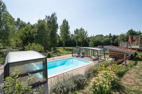
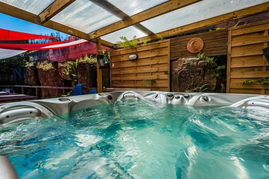
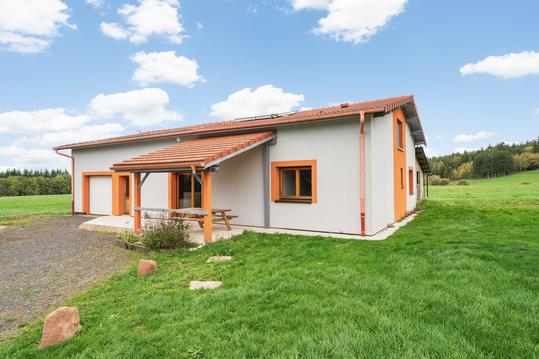
La Madipontaine
- Thématique Campagne
- Mis à jour le 10/05/2018
- Identifiant 172207
Sélectionner le fond de carte

PLAN IGN

PHOTOS AERIENNES

CARTES IGN MULTI-ECHELLES

TOP 25 IGN

CARTES DES PENTES

PARCELLES CADASTRALES

CARTES OACI

CARTES 1950 IGN

CARTE DE L’ETAT-MAJOR (1820-1866)

Open Street Map
Afficher les points d'intérêt à proximité
Hébergements
Informations
Lieux d'intérêts
Producteurs
Restauration
Services et Commerces
Autre
Echelle
|
durée / niveau
Rando pédestre
|
distance
11,6 km
type parcours
Boucle
|
|||||||||
|
Lieu de départ
7 grande rue
88500 Pont-sur-Madon |
accessibilite
|
|||||||||
|
prestations payantes
Non
|
type(s) de sol
Bitume
Terre |
|||||||||
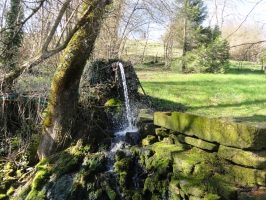
Photos & vidéos (1)
|
description
De Pont-sur-Madon (88) à Pont-sur-Madon via le bois du Harvaux, Ambacourt et la ferme de Trimoulot avec sa source minérale : une balade entre bois et prés.
Hébergements à proximité


notes, commentaires & photos (2)
ISABELLE
le 02/06/2020 à 10:31
Belle randonnée campagnarde, perturbée par les chenilles processionnaires en forêt (01/06/2020).
ISABELLE
le 02/06/2020 à 10:29
Pascal
Note moyenne
Cartes associées
