Courossé-Gévrise à La Chapelle-St-Florent
- Thématique Balade
- Mis à jour le 24/02/2022
- Identifiant 17336
Sélectionner le fond de carte

PLAN IGN

PHOTOS AERIENNES

CARTES IGN MULTI-ECHELLES

TOP 25 IGN

CARTES DES PENTES

PARCELLES CADASTRALES

CARTES OACI

CARTES 1950 IGN

CARTE DE L’ETAT-MAJOR (1820-1866)

Open Street Map
Afficher les points d'intérêt à proximité
Hébergements
Informations
Lieux d'intérêts
Producteurs
Restauration
Services et Commerces
Autre
Echelle
|
durée / niveau
Rando pédestre
|
distance
6,8 km
type parcours
Boucle
|
|||||||||
|
Lieu de départ
49620 Mauges-sur-Loire
|
accessibilite
|
|||||||||
|
prestations payantes
Non
|
type(s) de sol
Bitume
Terre |
|||||||||
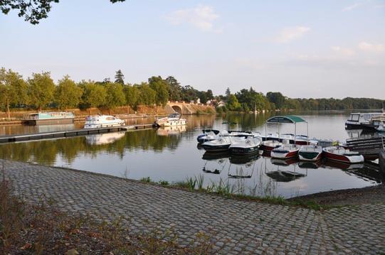
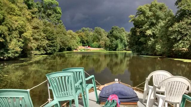
Photos & vidéos (3)

|
|
|
description
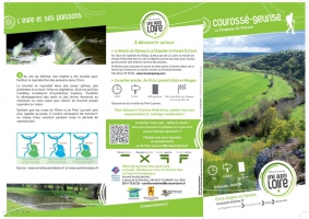
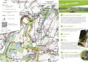
Randonnée pédestre par laquelle vous accédez à l'immanquable cirque naturel de Courossé, longez l'Evre et parcourez ses prairies humides. Découvrez les trésors naturels et historiques, la richesse de la faune et de la flore... Aire de pique nique à Gévrise.
Plus d'informations : http://www.uneautreloire.fr/page/courosse-la-chapelle-st-florent-ou-st-pierre-montlimart
Plus d'informations : http://www.uneautreloire.fr/page/courosse-la-chapelle-st-florent-ou-st-pierre-montlimart