
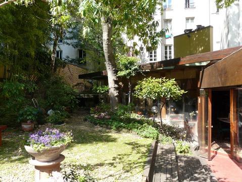
Parc, chateau & jardins...
- Thématique Historique, patrimoine
- Mis à jour le 01/05/2017
- Identifiant 178610
Sélectionner le fond de carte

PLAN IGN

PHOTOS AERIENNES

CARTES IGN MULTI-ECHELLES

TOP 25 IGN

CARTES DES PENTES

PARCELLES CADASTRALES

CARTES OACI

CARTES 1950 IGN

CARTE DE L’ETAT-MAJOR (1820-1866)

Open Street Map
Afficher les points d'intérêt à proximité
Hébergements
Informations
Lieux d'intérêts
Producteurs
Restauration
Services et Commerces
Autre
Echelle
|
durée / niveau
Rando pédestre
|
distance
16,3 km
type parcours
Aller Simple
|
|||||||||
|
Lieu de départ
2 bd newton
77420 Champs-sur-Marne |
accessibilite
|
|||||||||
|
prestations payantes
Non
|
type(s) de sol
Bitume
Graviers Terre Herbe |
|||||||||
Photos & vidéos (1)

|
description
Une balade mi nature mi urbaine entre les stations RER A Noisy Champs et Torcy. En passant par le Bois de Grace et ses étangs, le chateau de Champs sur Marne, la Marne, le parc de Noisiel, la cité ouvrière Menier et les lacs du Val Maubuée.
Hébergements à proximité


daniel
Note moyenne
Cartes associées
