Le Planolet-St Pierre d'Entremont
- Thématique Randonnée
- Mis à jour le 12/05/2017
- Identifiant 180352
Sélectionner le fond de carte

PLAN IGN

PHOTOS AERIENNES

CARTES IGN MULTI-ECHELLES

TOP 25 IGN

CARTES DES PENTES

PARCELLES CADASTRALES

CARTES OACI

CARTES 1950 IGN

CARTE DE L’ETAT-MAJOR (1820-1866)

Open Street Map
Afficher les points d'intérêt à proximité
Hébergements
Informations
Lieux d'intérêts
Producteurs
Restauration
Services et Commerces
Autre
Echelle
|
durée / niveau
Rando pédestre
|
distance
12,7 km
type parcours
Boucle
|
|||||||||
|
Lieu de départ
196 A la pelouse et la coche
73670 Saint-Pierre-d'Entremont |
accessibilite
|
|||||||||
|
prestations payantes
Non
|
type(s) de sol
Bitume
Graviers Terre Herbe |
|||||||||
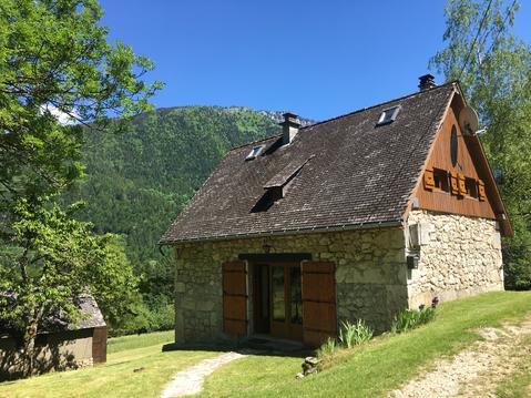
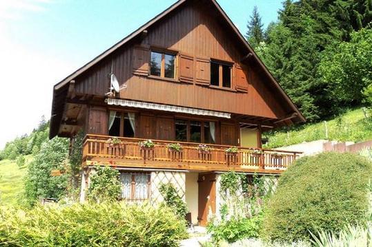
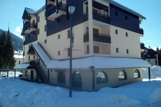
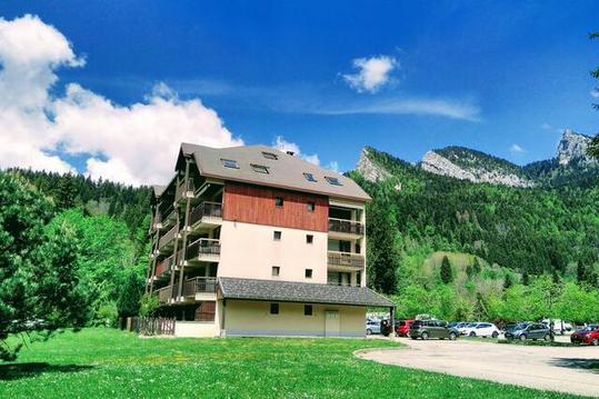
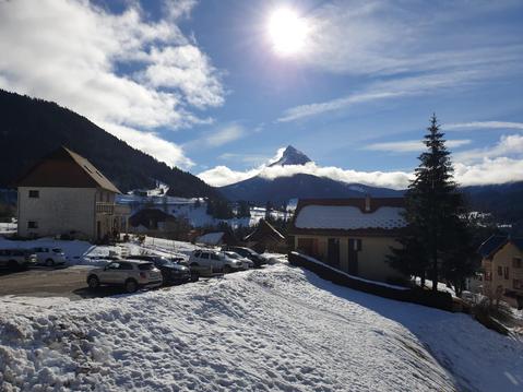
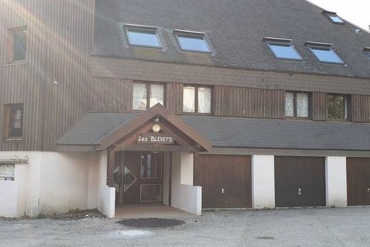
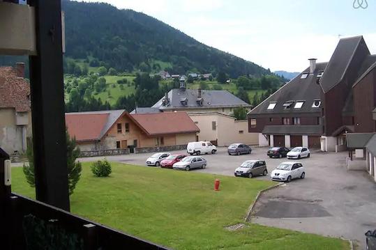
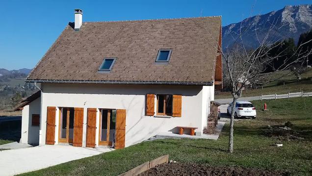
Photos & vidéos (5)
|
|
|

|

|
description
Départ de la station du Planolet