
Gisors - Frontière des 2 vexins
- Thématique Balade
- Mis à jour le 17/01/2018
- Identifiant 186669
Sélectionner le fond de carte

PLAN IGN

PHOTOS AERIENNES

CARTES IGN MULTI-ECHELLES

TOP 25 IGN

CARTES DES PENTES

PARCELLES CADASTRALES

CARTES OACI

CARTES 1950 IGN

CARTE DE L’ETAT-MAJOR (1820-1866)

Open Street Map
Afficher les points d'intérêt à proximité
Hébergements
Informations
Lieux d'intérêts
Producteurs
Restauration
Services et Commerces
Autre
Echelle
|
durée / niveau
Rando pédestre
|
distance
15,0 km
type parcours
Boucle
|
|||||||||
|
Lieu de départ
2 pl de la gare
27140 Gisors |
accessibilite
|
|||||||||
|
prestations payantes
Non
|
type(s) de sol
Bitume
Terre |
|||||||||
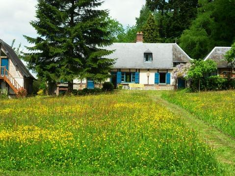
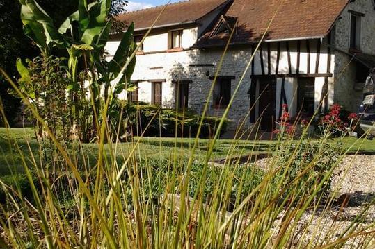
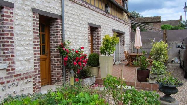
Photos & vidéos (5)
|
|
|
|
|
description
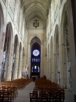
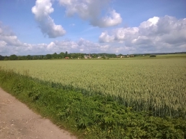
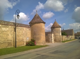
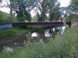
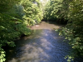
Belle balade entre ville et champs entre Vexin Français et Vexin Normand. On termine cette belle balade par la visite de Gisors (collégiale, château de Gisors, bords de l'Epte, et rue commerçante bien animée)
Hébergements à proximité

Historique Randoloup
parcours effectué le 04 mai 2017
_15179399038092.jpg.png)
