
Cluny / Villars-les-Dombes en vélo
- Thématique Itinérance, road-trip
- Mis à jour le 22/06/2017
- Identifiant 190245
Sélectionner le fond de carte

PLAN IGN

PHOTOS AERIENNES

CARTES IGN MULTI-ECHELLES

TOP 25 IGN

CARTES DES PENTES

PARCELLES CADASTRALES

CARTES OACI

CARTES 1950 IGN

CARTE DE L’ETAT-MAJOR (1820-1866)

Open Street Map
Afficher les points d'intérêt à proximité
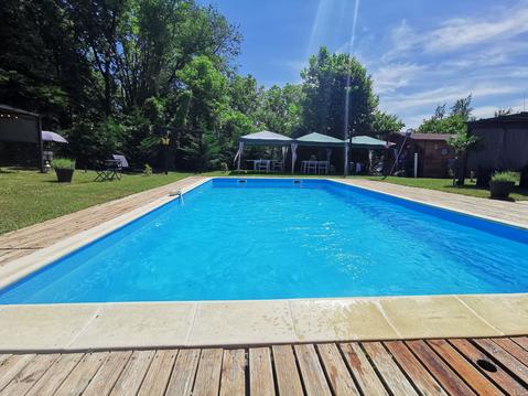
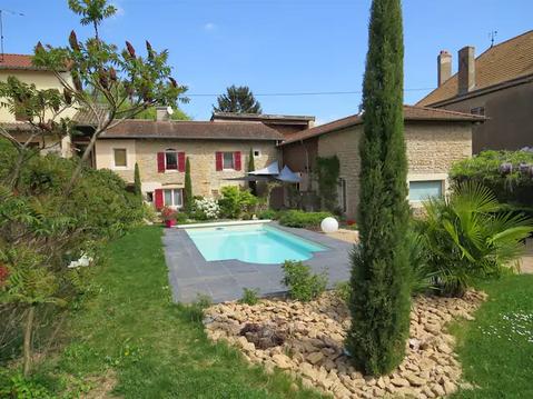
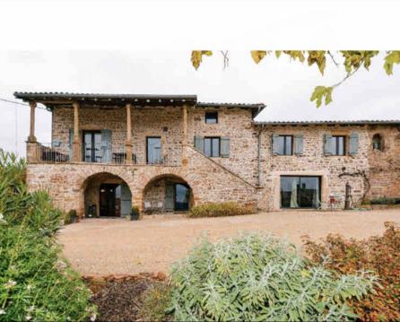
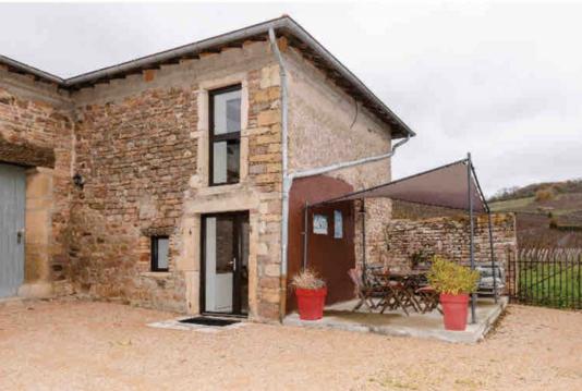
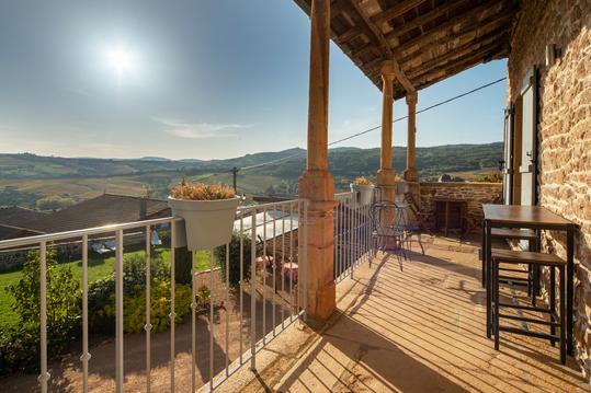
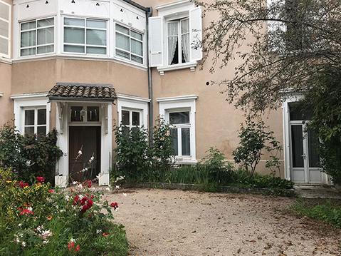
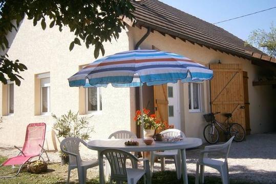
Hébergements
Informations
Lieux d'intérêts
Producteurs
Restauration
Services et Commerces
Autre
Echelle
|
durée / niveau
Cyclo tourisme
|
distance
69,6 km
type parcours
Aller Simple
|
|||||||||
|
Lieu de départ
47 r merciere
71250 |
accessibilite
|
|||||||||
|
prestations payantes
Non
|
type(s) de sol
Bitume
|
|||||||||
Hébergements à proximité

infos parcours (8)
1
71250 Cluny
Rattraper voir verte au Pain Chaud
Informations complémentaires
71250 Cluny
kilomètre
1,46
latitude
46.4352
altitude
247
m
longitude
4.67219
2
Traverser la D17La Roche-Vineuse
Informations complémentaires
7 che de l'aubepin
71960
71960
kilomètre
16,88
latitude
46.3347
altitude
220
m
longitude
4.73167
3
Prendre à droite au Voisinet
Informations complémentaires
869 che du voisinet
71850
71850
kilomètre
23,59
latitude
46.2918
altitude
199
m
longitude
4.78442
4
71000 Mâcon
Prendre à gauche après le pont de chemin de fer, direction Crêches
Informations complémentaires
71000 Mâcon
kilomètre
24,86
latitude
46.2838
altitude
186
m
longitude
4.77611
5
Tourner à gauche direction Comoranches
Informations complémentaires
269 rte des vignobles
71680
71680
kilomètre
29,39
latitude
46.2442
altitude
190
m
longitude
4.78386
6
Prendre la D51 direcetion Bey
Informations complémentaires
4 pl de l eglise
01290
01290
kilomètre
33,25
latitude
46.2399
altitude
177
m
longitude
4.832
7
Au clavaire prendre à gauche
Informations complémentaires
42 all de moncepey
01290
01290
kilomètre
36,33
latitude
46.2167
altitude
212
m
longitude
4.84905
8
01140 Illiat
Tourner à gauche sur la D64
Informations complémentaires
01140 Illiat
kilomètre
45,44
latitude
46.1628
altitude
245
m
longitude
4.90012
Jean-Pierre
Note moyenne
Cartes associées
