
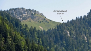
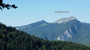
Col Sarriette-Col de Léchaud
- Thématique Randonnée
- Mis à jour le 19/07/2017
- Identifiant 195304
Sélectionner le fond de carte

PLAN IGN

PHOTOS AERIENNES

CARTES IGN MULTI-ECHELLES

TOP 25 IGN

CARTES DES PENTES

PARCELLES CADASTRALES

CARTES OACI

CARTES 1950 IGN

CARTE DE L’ETAT-MAJOR (1820-1866)

Open Street Map
Afficher les points d'intérêt à proximité
Hébergements
Informations
Lieux d'intérêts
Producteurs
Restauration
Services et Commerces
Autre
Echelle
|
durée / niveau
Rando pédestre
|
distance
14,2 km
type parcours
Boucle
|
|||||||||
|
Lieu de départ
1598 les chartreux
38380 Saint-Christophe-sur-Guiers |
accessibilite
|
|||||||||
|
prestations payantes
Non
|
type(s) de sol
Terre
Herbe Rochers |
|||||||||
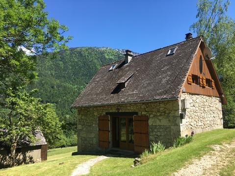
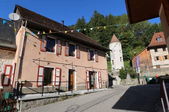
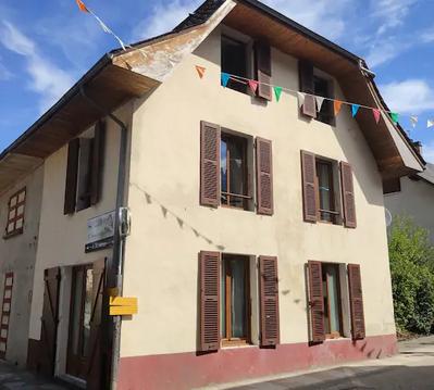
Photos & vidéos (5)
|
|
|
|
|
description
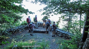
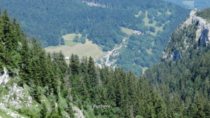
Départ au parking du hameau "Les Chartreux" à la Ruchère.
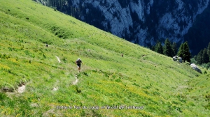
Parcours le plus souvent en forêt ,agréable par temps chaud.
Soyez vigilant au pas du Loup.
Parcours le plus souvent en forêt ,agréable par temps chaud.
Soyez vigilant au pas du Loup.
Hébergements à proximité

infos parcours (1)
1
38380 Saint-Christophe-sur-Guiers
Passage délicat
Passage d'une barre rocheuse, les mains sont très utiles

|
Informations complémentaires
38380 Saint-Christophe-sur-Guiers
kilomètre
8,61
latitude
45.3836
altitude
1562
m
longitude
5.80604
