
TOUR DE SOLOGNE (en mai 2018)
- Thématique Itinérance, road-trip
- Mis à jour le 01/01/2018
- Identifiant 207268
Sélectionner le fond de carte

PLAN IGN

PHOTOS AERIENNES

CARTES IGN MULTI-ECHELLES

TOP 25 IGN

CARTES DES PENTES

PARCELLES CADASTRALES

CARTES OACI

CARTES 1950 IGN

CARTE DE L’ETAT-MAJOR (1820-1866)

Open Street Map
Afficher les points d'intérêt à proximité
Hébergements
Informations
Lieux d'intérêts
Producteurs
Restauration
Services et Commerces
Autre
Echelle
|
durée / niveau
VTT
|
distance
447,3 km
type parcours
Boucle
|
|||||||||
|
Lieu de départ
6 r de l ancienne gare
45510 Vienne-en-Val |
accessibilite
|
|||||||||
|
prestations payantes
Non
|
type(s) de sol
Bitume
Graviers Sable Terre Herbe |
|||||||||
|
Mots clés
VTT, de, Tour, bois, cyclo, gravel, Sologne, cerf, chevreuil
|
||||||||||
Photos & vidéos (1)
|
description
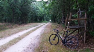
L'idée est de rouler en Gravel ou VTT pour un tour de Sologne en autonomie complète. Libre aux participants de dormir sous la tente, hôtel ou chez l'habitant.
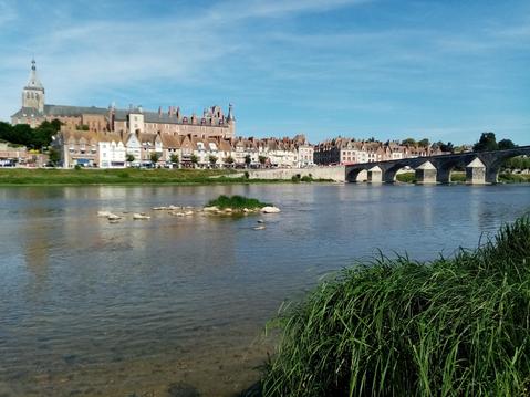
Le départ et l'arrivée du parcours est Vienne-en-Val, dans le Loiret.
Le départ et l'arrivée du parcours est Vienne-en-Val, dans le Loiret.
Hébergements à proximité

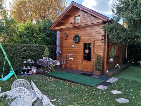
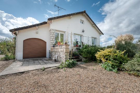
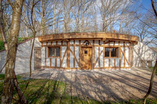


VTT Vienne-en-Val
Note moyenne
Cartes associées

Vous aimerez aussi
Vienne-en-Val vers Beaulieu / Loire et retour par les chemins
Aventure, adrénaline
271.3 km
| par VTT Vienne-en-Val |