
Normandie D'Utah Beach au Mont St-Michel : J2 • Carentan - Utah Beach – Carentan
- Mis à jour le 21/09/2017
- Identifiant 212385


|
durée / niveau
Cyclo tourisme
|
distance
25,9 km
type parcours
Aller Simple
|
|||||||||
|
Lieu de départ
11 bd de verdun
50500 Carentan les Marais |
accessibilite
|
|||||||||
|
prestations payantes
Oui
|
type(s) de sol
Bitume
Graviers |
|||||||||
|
Mots clés
Carentan, Utah, Beach
|
||||||||||
description
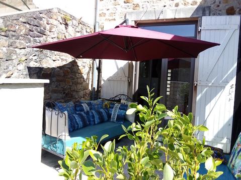
Hébergements à proximité
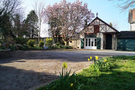
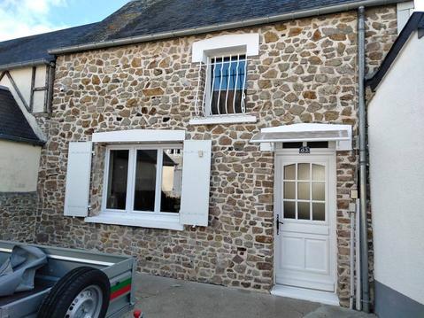
Normand'Histoire Gîte et Chambres d'Hôtes
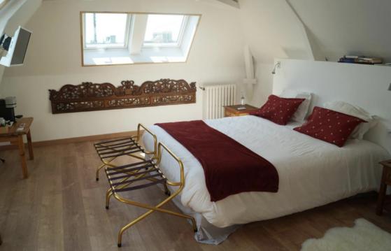
Suite dans chambre d'hôtes
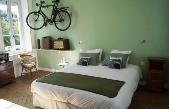
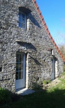
Chambre double dans maison d'hôtes

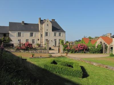
Villa les pieds dans l'eau
Chambre et table d'hôtes près des bords de Manche
Maison manche proche mer 6 pers
côte ouest cotentin plage à 2 kms , jolie grang
Gîte de La Ferme de La Cour***

