
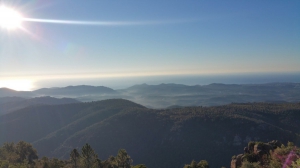
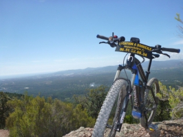
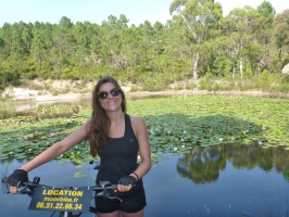
Malpey, tour de l'Estérel
- Thématique Découverte
- Mis à jour le 30/11/2017
- Identifiant 221075


|
durée / niveau
VTT
|
distance
35,4 km
type parcours
Boucle
|
|||||||||
|
Lieu de départ
83600 Fréjus
|
accessibilite
|
|||||||||
|
prestations payantes
Non
|
type(s) de sol
Terre
|
|||||||||
|
Mots clés
esterel
|
||||||||||
Photos & vidéos (3)
|
|
|
description
Hébergements à proximité
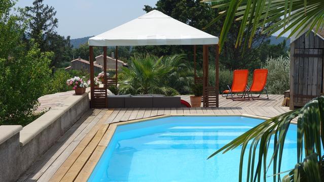
Loft 50m² au calme avec vue splendide piscine
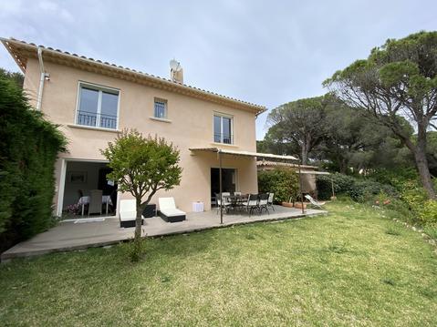
Villa au calme. Intérieur totalement rénové.
LE DARBY

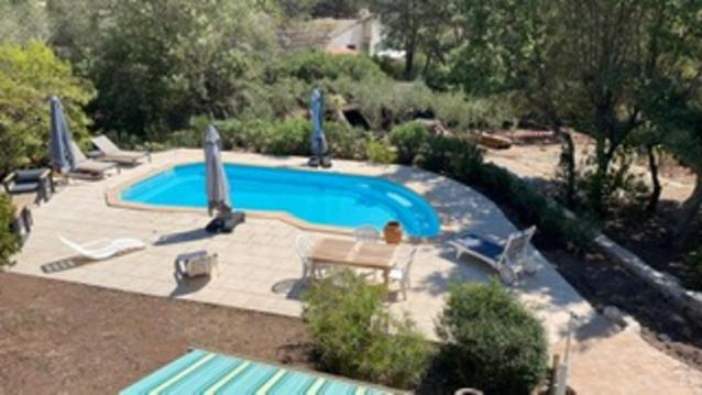
VILLA AVEC PISCINE SAINT RAPHAEL VAR
MAISON F2 VALESCURE GOLF PISCINE WIFI CLIM
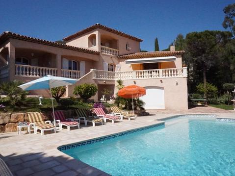
Très belle villa avec grande piscine dans le golf
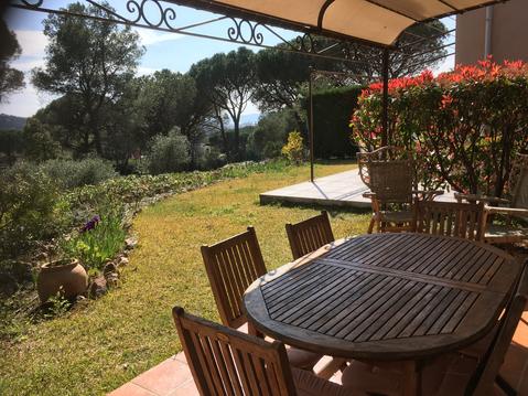
Détente à l'air dans cadre de verdure
Un petit coin de paradis


