
Olhain - 30km - Passage au gué de Caucourt
- Thématique Randonnée
- Mis à jour le 12/01/2019
- Identifiant 225406
Sélectionner le fond de carte

PLAN IGN

PHOTOS AERIENNES

CARTES IGN MULTI-ECHELLES

TOP 25 IGN

CARTES DES PENTES

PARCELLES CADASTRALES

CARTES OACI

CARTES 1950 IGN

CARTE DE L’ETAT-MAJOR (1820-1866)

Open Street Map
Afficher les points d'intérêt à proximité
Hébergements
Informations
Lieux d'intérêts
Producteurs
Restauration
Services et Commerces
Autre
Echelle
|
durée / niveau
Randonnée/tourisme équestre
|
distance
29,6 km
type parcours
Boucle
|
|||||||||
|
Lieu de départ
62620 Maisnil-lès-Ruitz
|
accessibilite
|
|||||||||
|
prestations payantes
Non
|
type(s) de sol
Bitume
Graviers Terre Herbe |
|||||||||
Photos & vidéos (2)
|
|
description
Parcours emprunté pour la 50ème randonnée équestre d'Olhain
Hébergements à proximité

Points d'interêt (2)
A
Voir la fiche du point d'intéret »
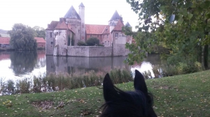
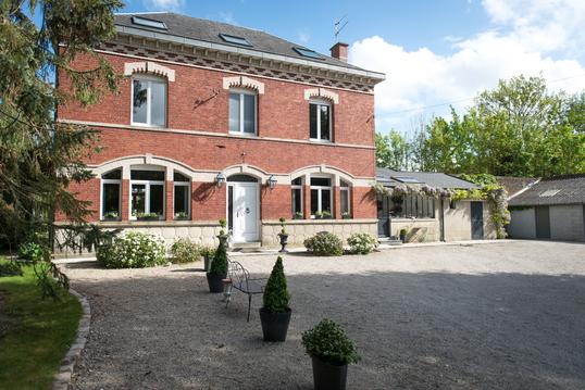
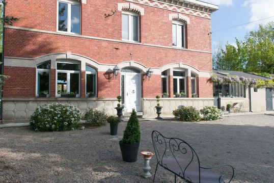
Château d'Olhain
Château
Informations complémentaires
19 Léo Lagrange
62150 Fresnicourt-le-Dolmen
62150 Fresnicourt-le-Dolmen
kilomètre
2,92
latitude
50.4243
altitude
81
m
longitude
2.58436
B
Voir la fiche du point d'intéret »
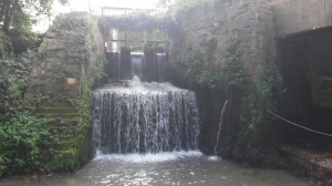
Gué de Cacucourt
Chute d'eau
Informations complémentaires
13 B r du moulin
62150 Caucourt
62150 Caucourt
kilomètre
7,47
latitude
50.4056
altitude
96
m
longitude
2.58119
