
Le Pian Medoc
- Thématique Botanique
- Mis à jour le 06/11/2017
- Identifiant 226790


|
durée / niveau
Rando pédestre
|
distance
12,4 km
type parcours
Boucle
|
|||||||||
|
Lieu de départ
100 che de renaurey
33290 Le Pian-Médoc |
accessibilite
|
|||||||||
|
prestations payantes
Non
|
type(s) de sol
Bitume
Graviers Sable Terre Herbe |
|||||||||
|
Mots clés
vignes, forêts, jalles
|
||||||||||
Photos & vidéos (1)

|
description
Hébergements à proximité
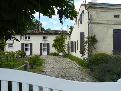
Mi L'Agradi
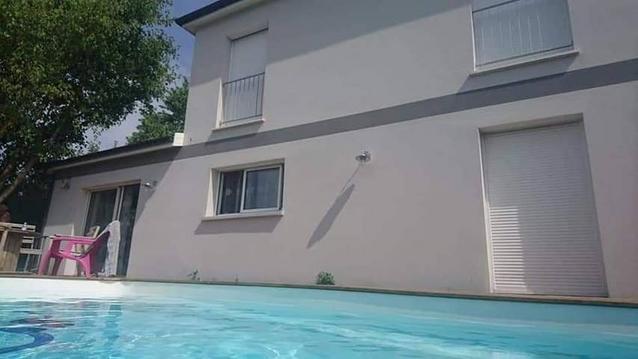
MAISON entre Bordeaux (10km) et Océan (40km)
Maison de caractère 2 chambres au cœur de Margaux
MAISON CALME ET LUMINEUSE
maison bordelaise typique refaite entièrement
Appt cosy dans le vieux bordeaux
chambre triple Douce France avec petit déj
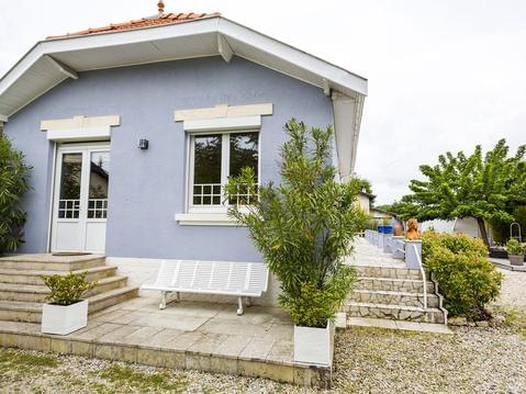
Villa neuve près du golf de Pessac


CHANTECLER RANDONNEE
Cartes associées

Vous aimerez aussi
| par Chemin d'Amadour |