
Circuit de randonnée : Sablonnière et château noir
- Mis à jour le 13/10/2025
- Identifiant 236317
Sélectionner le fond de carte

PLAN IGN

PHOTOS AERIENNES

CARTES IGN MULTI-ECHELLES

TOP 25 IGN

CARTES DES PENTES

PARCELLES CADASTRALES

CARTES OACI

CARTES 1950 IGN

CARTE DE L’ETAT-MAJOR (1820-1866)

Open Street Map
Afficher les points d'intérêt à proximité
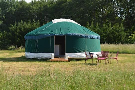
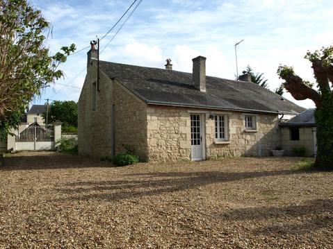
Hébergements
Informations
Lieux d'intérêts
Producteurs
Restauration
Services et Commerces
Autre
Echelle
|
durée / niveau
Rando pédestre
|
distance
12,8 km
type parcours
|
|||||||||
|
Lieu de départ
VERNOIL-LE-FOURRIER
|
accessibilite
|
|||||||||
|
prestations payantes
Non
|
type(s) de sol
|
|||||||||
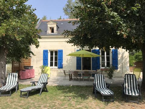
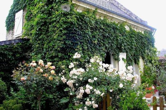
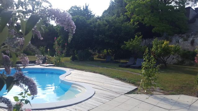
Photos & vidéos (3)
|

|
|
description
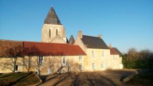
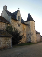
Ce circuit de 19,3 km offre une longue balade au coeur d'une forêt dense et giboyeuse, daims et chevreuils croiseront-ils votre route ? Au gré du chemin, de belles bâtisses remarquables agrémenteront votre randonnée.
Hébergements à proximité


Balisage
Vert.
Contact
Email : infos@ot-saumur.fr
Téléphone : 02 41 40 20 60
Téléphone : 02 41 40 20 60
Réseau e-SPRIT
Note moyenne
Cartes associées

Vous aimerez aussi
19.2 km
| par Destination Saumur Val de Loire |