
CIRCUIT DE CHAMMES - N°30
- Mis à jour le 31/03/2025
- Identifiant 236386
Sélectionner le fond de carte

PLAN IGN

PHOTOS AERIENNES

CARTES IGN MULTI-ECHELLES

TOP 25 IGN

CARTES DES PENTES

PARCELLES CADASTRALES

CARTES OACI

CARTES 1950 IGN

CARTE DE L’ETAT-MAJOR (1820-1866)

Open Street Map
Afficher les points d'intérêt à proximité
Hébergements
Informations
Lieux d'intérêts
Producteurs
Restauration
Services et Commerces
Autre
Echelle
|
durée / niveau
Rando pédestre
|
distance
10,8 km
type parcours
|
|||||||||
|
Lieu de départ
SAINTE-SUZANNE
|
accessibilite
|
|||||||||
|
prestations payantes
Non
|
type(s) de sol
|
|||||||||
Photos & vidéos (1)

|
description
Parcourez les déclinaisons de sentiers de la "Perle du Maine" et tombez sous le charme de ce village particulièrement pittoresque, perché sur son éperon rocheux.Vous pouvez télécharger et imprimer ce circuit, en cliquant sur la bulle PDF.
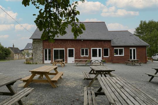
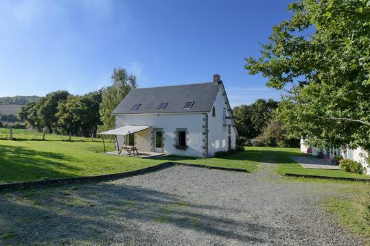
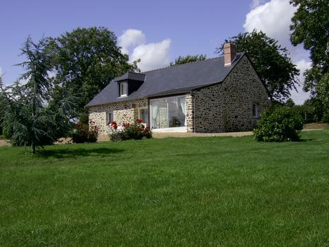
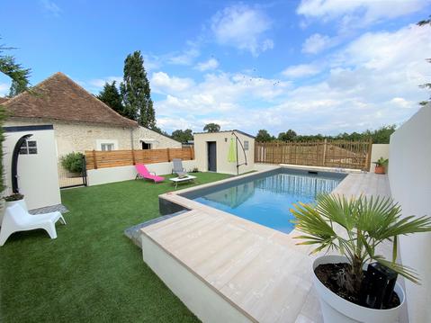
Hébergements à proximité

Balisage
Jaune
Contact
Email : info@coevrons-tourisme.com
Téléphone : 02 43 01 43 60
Téléphone : 02 43 01 43 60
