
Pte Dorée > Pte de Charenton
- Mis à jour le 24/12/2017
- Identifiant 243765


|
durée / niveau
Rando pédestre
|
distance
3,3 km
type parcours
|
|||||||||
|
Lieu de départ
2 pl edouard renard
75012 Paris |
accessibilite
|
|||||||||
|
prestations payantes
Non
|
type(s) de sol
|
|||||||||
description
Durée totale : 0h00:00
Moyenne globale : -
Pente moyenne : 0.00 %
Aire incluse : 35.8348 ha
Détails par segments
distance | durée | vit.moy. | vit.max. | déniv. + | déniv -
km | hh:mn:ss | km/h | km/h | m | m
3.33 | 00:00:00 | 0.0 | 0.0 | 0 | 0
Hébergements à proximité
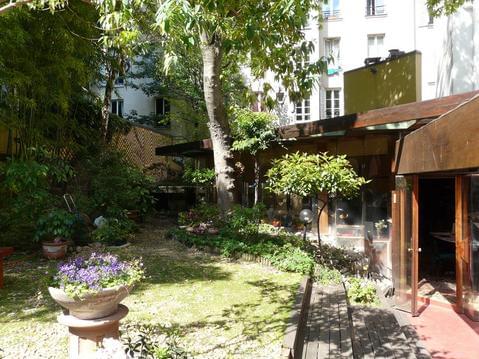
Bed & Bamboo Chambre d'hôtes
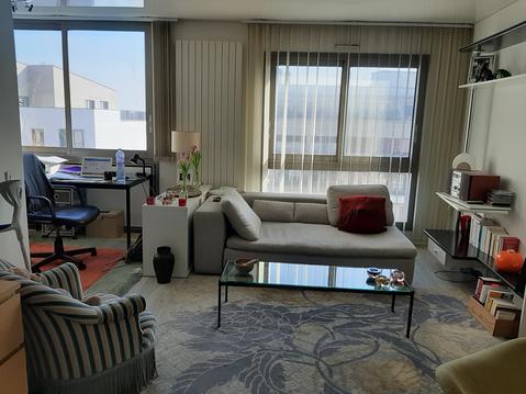
Superbe appartement proche de Paris et nature
Halle de laVillette/Zenith/Philharm
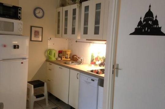
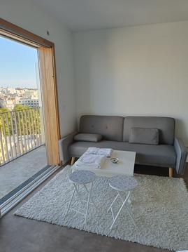
Nice Budget-Studio-Apartment 35m2 - Trendy Area
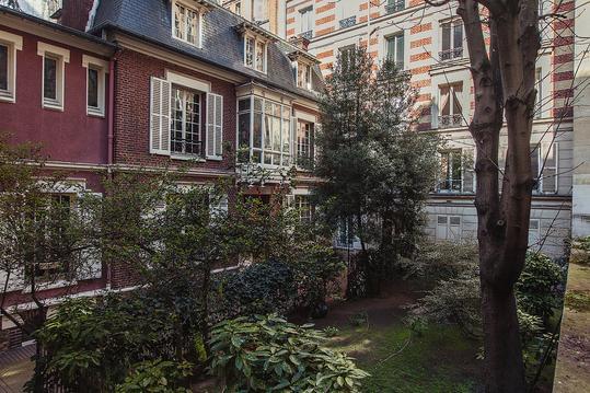
Beautiful Paris

deux pieces commerce

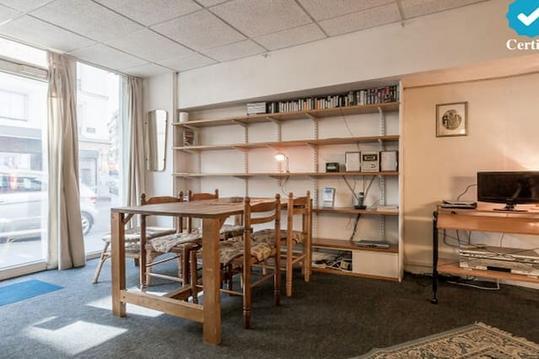
Studio calme plein Paris.Vue dégagée Tour Eiffel.
hotel particulier a 2 pas du bois de boulogne

Robert
Cartes associées
