
Sologne - Boucle autour de Villeny
- Thématique Randonnée
- Mis à jour le 18/02/2018
- Identifiant 251865
Sélectionner le fond de carte

PLAN IGN

PHOTOS AERIENNES

CARTES IGN MULTI-ECHELLES

TOP 25 IGN

CARTES DES PENTES

PARCELLES CADASTRALES

CARTES OACI

CARTES 1950 IGN

CARTE DE L’ETAT-MAJOR (1820-1866)

Open Street Map
Afficher les points d'intérêt à proximité
Hébergements
Informations
Lieux d'intérêts
Producteurs
Restauration
Services et Commerces
Autre
Echelle
|
durée / niveau
Rando pédestre
|
distance
19,4 km
type parcours
Boucle
|
|||||||||
|
Lieu de départ
4 B grande rue
41220 Villeny |
accessibilite
|
|||||||||
|
prestations payantes
Non
|
type(s) de sol
Bitume
Terre |
|||||||||
|
Mots clés
Sologne
|
||||||||||
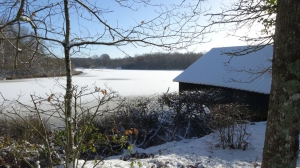
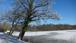
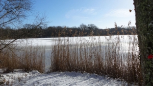
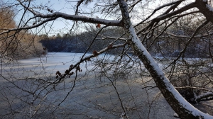
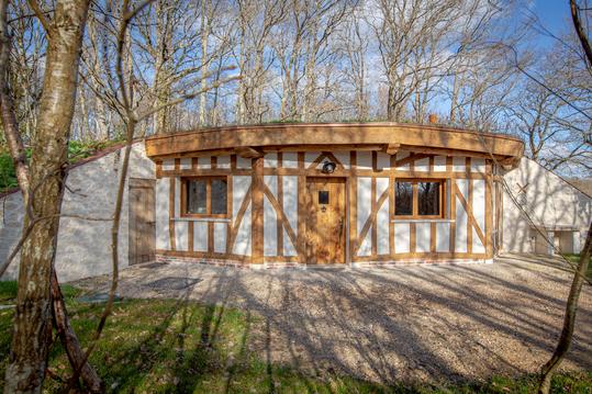
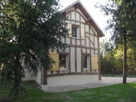
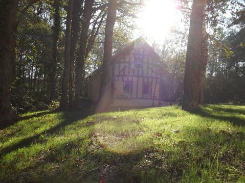
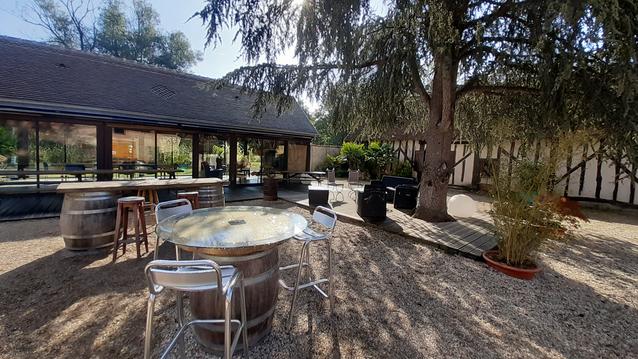
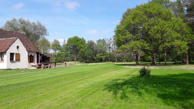
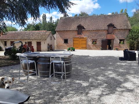
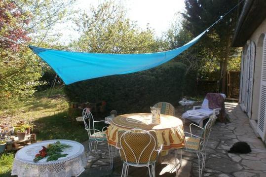
Photos & vidéos (4)
|
|
|
|
description
Hébergements à proximité


Départ - Stationnement
Places de stationnement au pied de l'église
Boucle dans le sens antihoraire
Boucle dans le sens antihoraire

