
AR192 LES QUATRE PILIERS
- Thématique Randonnée
- Mis à jour le 13/03/2019
- Identifiant 262093


|
durée / niveau
Rando pédestre
|
distance
22,1 km
type parcours
Boucle
|
|||||||||
|
Lieu de départ
10 B r nationale
78940 La Queue-les-Yvelines |
accessibilite
|
|||||||||
|
prestations payantes
Non
|
type(s) de sol
Bitume
Graviers Terre Herbe |
|||||||||
|
Mots clés
AR, AR92
|
||||||||||
description
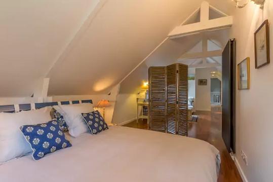
Hébergements à proximité
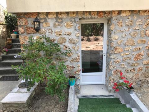
Studio proche lac, forêt et gare
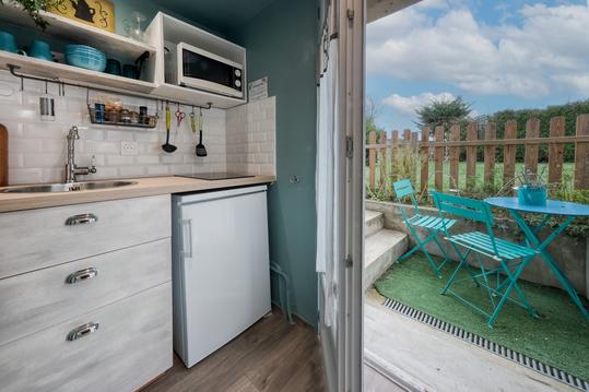
Studio charme vallée de chevreuse

Manoir au coeur de vallée Chevreuse, 30km de Paris

Chambre RYDER CUP 22/09 au 01/10 a 2.5km du golf
PAVILLON DES BOIS - SAPHIR
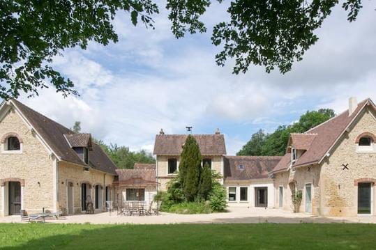
LE PAVILLON DES BOIS - AMETHYSTE

LE PAVILLON DES BOIS-Topaze
Chez Aurélia : duplex avec jacuzzi privé


