
FIGEAC A LECTOURE - 12J DE MARCHE
- Thématique Randonnée
- Mis à jour le 14/09/2015
- Identifiant 27090


|
durée / niveau
Rando pédestre
|
distance
253,4 km
type parcours
Aller Simple
|
|||||||||
|
Lieu de départ
5 av jean jaures
46100 Figeac |
accessibilite
|
|||||||||
|
prestations payantes
Non
|
type(s) de sol
Bitume
Terre |
|||||||||
Photos & vidéos (1)
|
description
Hébergements à proximité
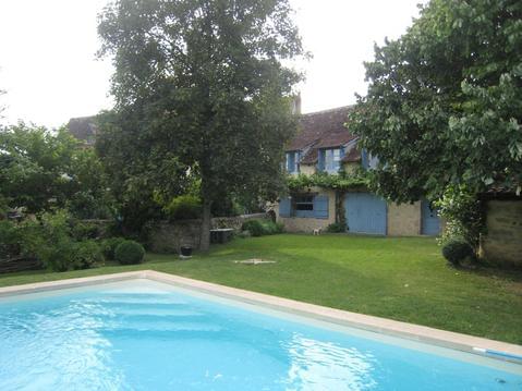
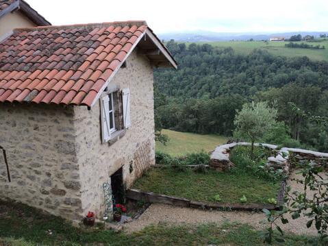
5 km Figeac, Maison de Charme dans presbytère 18è,

Maison avec piscine

les chalets de la colline
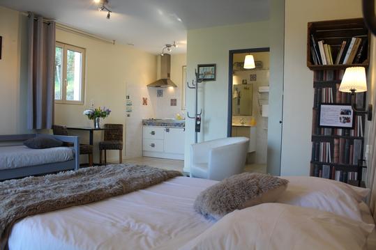
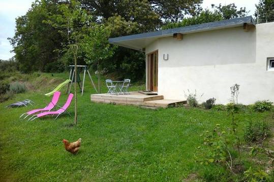
studio avec kitchenette dans petite structure
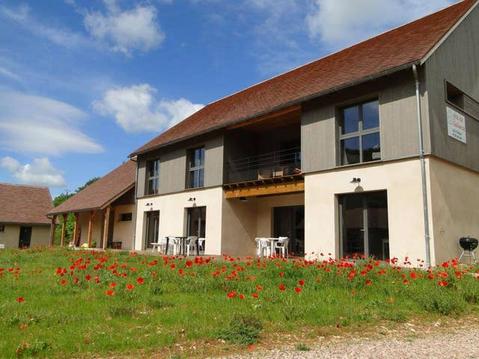
Grand gîte de groupe pour 15 ou 18 personnes
Petite Maison en pierres proche du village d'AGNAC
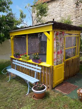
LE PETIT POULAILLER
Chambre avec Panorama exceptionnel

Points d'interêt (12)
Espagnac Ste Eulalie
46320 Espagnac-Sainte-Eulalie
Marcilhac
46160 Marcilhac-sur-Célé
Cabrerets
46330 Cabrerets
St Cirq Lapopie
46330 Saint-Cirq-Lapopie
St Cirq Vers
46090 Vers
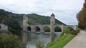
Cahors
46000 Cahors
Lascabanes
46800 Lascabanes
Lauzerte
82110 Lauzerte
Moissac
82200 Moissac
Auvillar
82340 Auvillar
Miradoux
32340 Miradoux
Lectoure
32700 Lectoure

St Jacques 2015
Cartes associées

Vous aimerez aussi

De Figeac à Cahors par la Vallée du Célé et Saint-Cirq-Lapopie
Itinérance, road-trip| par Gregoire |