
VAL REVERMONT
- Thématique Montagne
- Mis à jour le 03/04/2018
- Identifiant 271291


|
durée / niveau
Rando pédestre
|
distance
15,8 km
type parcours
Boucle
|
|||||||||
|
Lieu de départ
25 pl du champ de foire
01370 Val-Revermont |
accessibilite
|
|||||||||
|
prestations payantes
Non
|
type(s) de sol
Terre
Rochers |
|||||||||
|
Mots clés
revermont, treffort, cuisiat, cretes
|
||||||||||
description
Hébergements à proximité
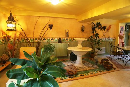
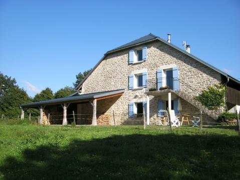
Gîte Les Trois Collines
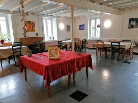
Charme Jurassien Ch Quadruple
MAISON DE CAMPAGNE T3 110 m²
Gîte VTT : Family & Friends (10/12 pers)
Gîte VTT : Family & Friends (20/22 pers)
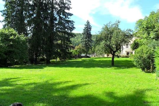
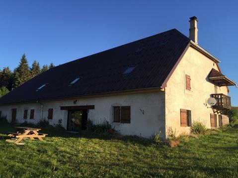
Gîte en moyenne montagne, au sud du massif du Jura
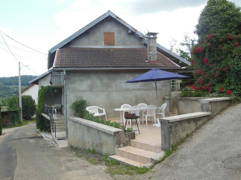
gite de groupe Val d'Orey
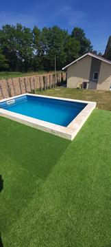
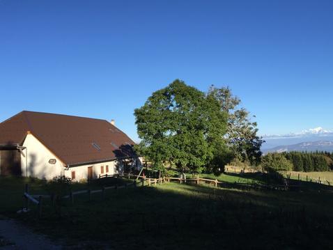
Maison avec piscine au bord d'un grand circuit

JEREMY
Cartes associées
