
Cospron
- Thématique Famille
- Mis à jour le 12/04/2018
- Identifiant 275800


|
durée / niveau
Rando pédestre
|
distance
13,3 km
type parcours
Boucle
|
|||||||||
|
Lieu de départ
66660 Port-Vendres
|
accessibilite
|
|||||||||
|
prestations payantes
Non
|
type(s) de sol
Bitume
Terre |
|||||||||
Hébergements à proximité
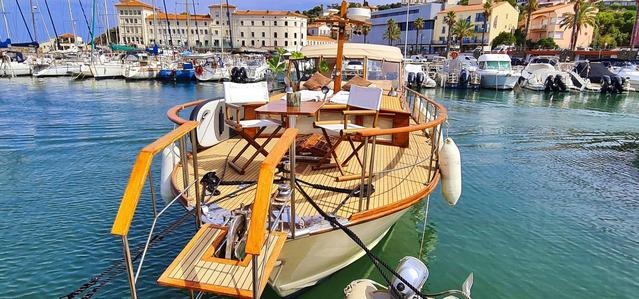
La Ornella | Location bateau à quai
5 étoiles de Thierry Bourgait
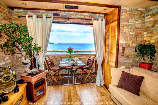
Magnifique vue mer/banyuls/montagne
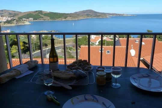
Appartement 4 pers avec terrasse et vue MER

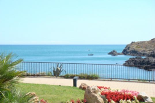
Joli F3 avec terrasses et vue mer
Beau studio/F1bis face à la mer.
Petit Studio / mezzanine à 100 m mer de la plage
Grand studio 5 pers au village à 100 m de la plage

infos parcours (16)
10 mars 2018 à 11:13:24
66660 Port-Vendres
10 mars 2018 à 11:13:09
66660 Port-Vendres
10 mars 2018 à 11:13:40
66660 Port-Vendres
10 mars 2018 à 12:13:59
66660 Port-Vendres
10 mars 2018 à 12:15:49
66660 Port-Vendres
10 mars 2018 à 12:21:27
66660 Port-Vendres
10 mars 2018 à 12:21:12
66660 Port-Vendres
10 mars 2018 à 12:41:14
66660 Port-Vendres
10 mars 2018 à 13:58:36
66660 Port-Vendres
10 mars 2018 à 14:50:57
66660 Port-Vendres
10 mars 2018 à 14:50:47
66660 Port-Vendres
10 mars 2018 à 14:53:10
66660 Port-Vendres
10 mars 2018 à 14:53:00
66660 Port-Vendres
10 mars 2018 à 14:56:28
66660 Port-Vendres
10 mars 2018 à 14:56:18
66660 Port-Vendres
10 mars 2018 à 15:03:43
66660 Port-Vendres

